

Monte Cornetto

Description
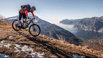
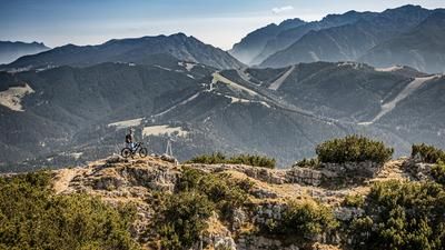
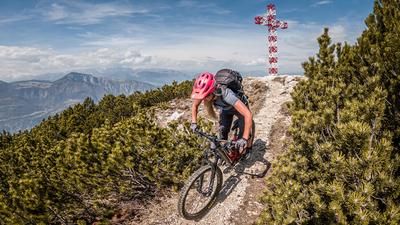
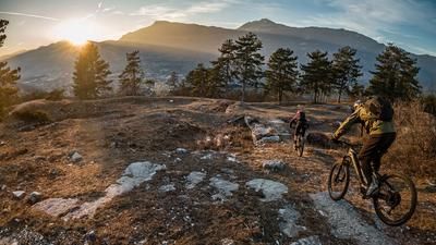
The start is in Aldeno. From here, the route immediately climbs steeply. An old historic road, past the Chiesa nella Roccia, leads uphill on cobblestones. The route continues in this manner up to La Peschiera, then briefly crosses the SP25 main road and continues along a forest road with varying gradients towards the Torbiera delle Viote biotope near Cima Palon. After a short stretch along the Strada delle Caserme, the trail becomes increasingly rough and you struggle uphill on gravel to Bocca Vaiona and along the ridge towards Monte Cornetto. For the most part this is fairly tame, but in the last section it is somewhat exposed and has a few key sections. The summit itself is then a hard task and makes little sense on a bike in the last few meters. However, once at the top, there is a magnificent view that literally reflects countless peaks in Trentino, the main Alpine ridge and South Tyrol.
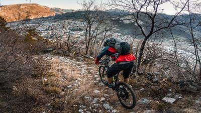
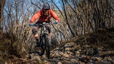
The descent runs in the rideable area in the summit passage with some key sections on difficulty S2 to S3. Generally not recommended in wet conditions! Below the somewhat exposed traverse, the trail then becomes easier and remains at difficulty S1 to S2 along the entire ridge. A fantastic trail descent that ends in the area of the biotope and then crosses above the village of Garniga Terme onto a relaxed singletrail below the Cima Palon and enters a magnificent singletrail with difficulty levels S1 and S2. This then rides down to Romagnano. From the viewpoint, there is an old mule track that is very exposed in some places - caution is advised here. The return is then a relaxed ride along the main road to the starting point.
Note: The tour is almost entirely possible on an e-bike, except for the summit section where the push function should be used skillfully. This is very doable with a light e-MTB.
Map & GPX-Track
The map is only available to Ride subscribers.
The Ride-Subscription is available at ride-mtb.com/abo
.
Details of the tour
34 km
1955 m
1955 m
198 above sea level
2137 above sea level
1 day
Aldeno
Aldeno
3056
limited
More information
More tours nearby













User comments (0)

About the author: Martin Depauli
Note: This content has been automatically translated from German. Please report any incorrect translations.