

Monte Cornalé

Description
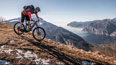
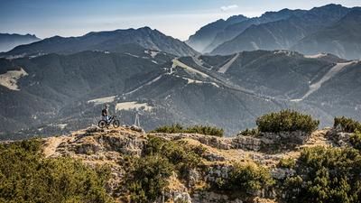
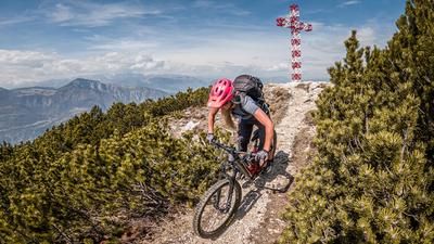
The route begins in Chizzola, south of Marco. From here, the route rides a paved road steadily uphill along the northern slopes of Monte Vignola. You’ll pass through charming little villages before the trail eventually turns into a cart track in the upper section and then into a singletrack that leads to the summit of Monte Cornalé. The mountain itself is densely forested, which is why panoramic views of the surrounding mountains open up only sporadically during the ascent.
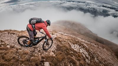
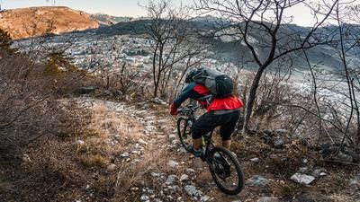
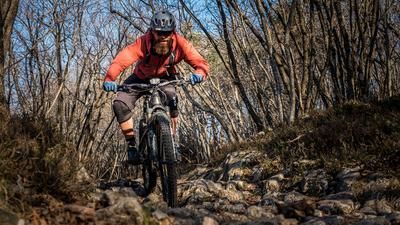
After a break at the summit, the descent begins toward the south. The first section along a cart track toward Pozza is relatively unspectacular at first. But as soon as you pass the “Brunner,” a local drinking water source, the terrain shifts to a historic mule trail. With a difficulty level between S1 and S2, this trail leads steadily downhill along the steep rock faces above Pilcante. On loose gravel and dry leaves, you skillfully weave your mountain bike through the lines. Once you reach the valley floor, you finally take the paved bike path for a relaxed ride back to the starting point in Chizzola.
Map & GPX-Track
The map is only available to Ride subscribers.
The Ride-Subscription is available at ride-mtb.com/abo
.
Details of the tour
27 km
810 m
810 m
147 above sea level
962 above sea level
5 days
Serravalla all'Adige
Serravalla all'Adige
3690
well suited
More information
More tours nearby













User comments (0)

About the author: Martin Depauli
Note: This content has been automatically translated from German. Please report any incorrect translations.