

Monte Finonchio West

Description
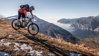
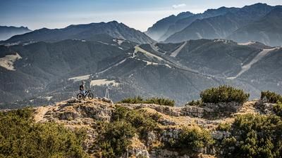
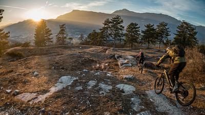
The tour starts in the village of Volano north of Rovereto. From here, the route climbs up a narrow pass road via Fontana Fredda and Colonia S. M. Goretti on asphalt and later on gravel to the Rifugio Finonchio (1603 meters above sea level). Only the last few meters are completely free of vegetation or above the tree line and you reach a fantastic 360-degree panorama after a relatively steep climb of over 1400 meters. The mountain itself is fenced off to the north with antennae. Towards the south, east and west, however, there is an incredible view from the Rifugio.
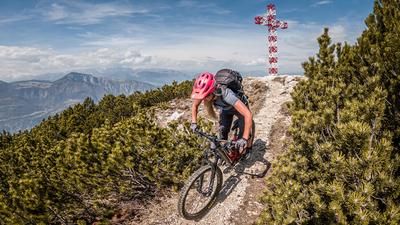
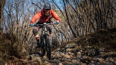
The descent trail itself is initially at a difficulty level of S2 to S3, later S2 and finally S2 to S3 again and goes down the western ridge towards the starting point for what feels like an endless distance. What feels like millions of loose stones and steps are rolled over, there are also a few hairpin bends to master and, of course, flow passages. It's not for nothing that Rovereto's local mountain is a paradise for enduro and all-mountain riders. The last few Elevation losses are more or less for coasting on a difficulty S1 before you get back to the starting point.
Map & GPX-Track
The map is only available to Ride subscribers.
The Ride-Subscription is available at ride-mtb.com/abo
.
Details of the tour
25 km
1415 m
1415 m
191 above sea level
1581 above sea level
1 day
Volano
Volano
2204
well suited
More information
More tours nearby















User comments (1)

About the author: Martin Depauli
Note: This content has been automatically translated from German. Please report any incorrect translations.
Took this tour on June 4, 2026. The climb is a bit monotonous, but easy to ride. As described, you don’t get a view until you reach the summit. Awesome trail!! It’s definitely “more flowy” at the top. After Moietto, it definitely gets rougher with lots of rocks.
I strayed off the trail a time or two, but you can always get back on without any problems. There are just endless downhill options here.