

Cima Marzola Süd

Description
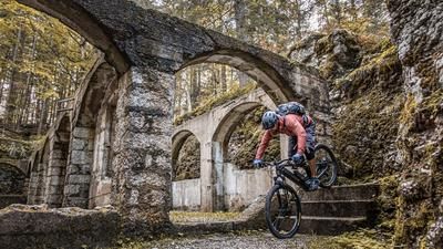
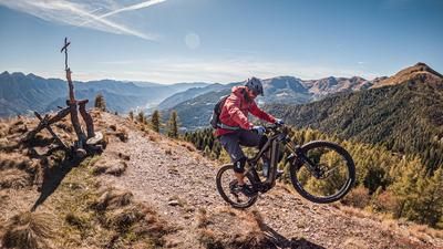
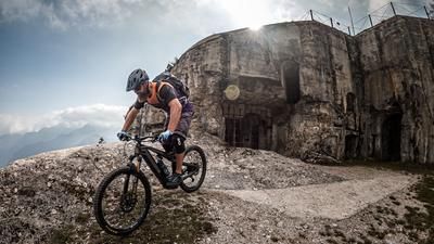
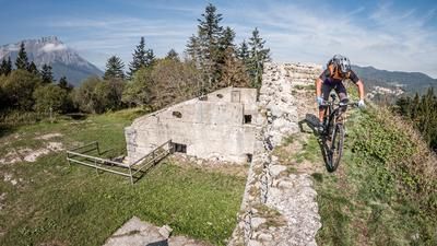
The tour begins just south of Trento in the village of Mattarello. From here, the route starts off with a “relatively gentle” climb of a few meters through Novaline, before the path becomes significantly steeper and requires some serious pedaling toward Valsorda. After passing through the village, you briefly join the Strada della Fricca and then pedal up the old military road to the Austro-Hungarian fortress Forte Brusafer. A brief visit to this impressive structure should definitely be planned. The route continues on a singletrack and a subsequent forest road, which is very demanding in terms of endurance and physical fitness, to the junction at Secondo Forte. From this point, you’ll need to push or carry your mountain bike toward Cima Marzola or the Bivacco Raffaele Bailoni until you reach the viewpoint a few meters above. The panorama at the tour’s highest point, 1,738 meters above sea level, is breathtaking and stretches across the Adige Valley, southern Trentino, the Valsugana, and Lake Caldonazzo.
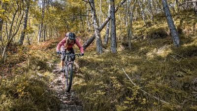
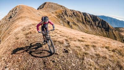
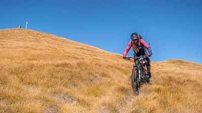
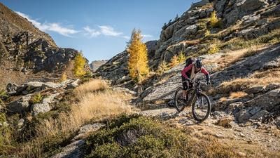
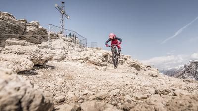
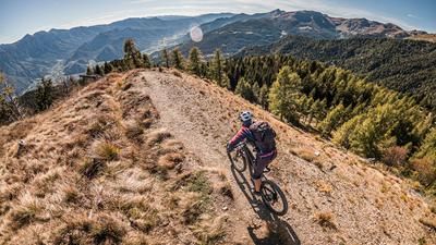
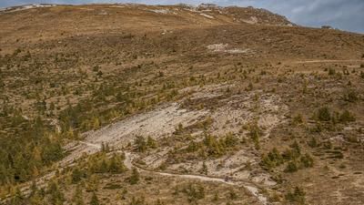
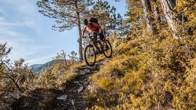
The descent then begins. Initially rated S1 to S2 in difficulty and featuring some of the hairpin turns characteristic of this tour, the route continues steadily downhill. Below the summit, a traverse with exposed sections follows, where short sections of walking are absolutely advisable, as riding errors here could have fatal consequences. Countless additional hairpin turns in difficulty levels S3 to S4 follow toward Vigolo Vattaro. For this section, mastery of the rear-wheel-shifting technique is an absolute prerequisite for smoothly navigating the long and technically demanding stretch.
After crossing a plateau with an uphill section of approximately 100 meters in elevation, you take the old military road toward Forte Fornas. While the start is very smooth and enjoyable to ride, the difficulty increases again as you continue. The trail once again features countless hairpin turns in the S2 range, with some S3 sections, before the descent leads back to the starting point in a very consistent manner toward the end. Overall, this is an extremely varied and trail-heavy adventure with a very high proportion of hairpin turns and some exposed sections.
Note: The tour is generally also feasible with an electric mountain bike; however, a carrying section must be factored in starting from Secondo Forte, which requires additional strength reserves due to the bike’s weight.
Map & GPX-Track
The map is only available to Ride subscribers.
The Ride-Subscription is available at ride-mtb.com/abo
.
Details of the tour
27 km
1600 m
1600 m
195 above sea level
1600 above sea level
1 day
Mattarello
Mattarello
3688
limited
More information
More tours nearby









User comments (0)

About the author: Martin Depauli
Note: This content has been automatically translated from German. Please report any incorrect translations.