

Monte Cucal
Description
The tour begins in Tesero. From here, the route leads across the southern slopes, first on asphalt, then alternating between gravel and other surfaces, toward Varena. For a stretch, it follows the pass road; later, it continues steadily uphill along forest and meadow trails to Monte Cucal at 1,704 meters above sea level. Even during the ascent, interesting panoramic views and varied landscapes open up time and again. Once at the top, the view to the south extends far into the Fleimstal Valley. The summit itself, however, is densely forested, so there is no classic 360-degree panorama.
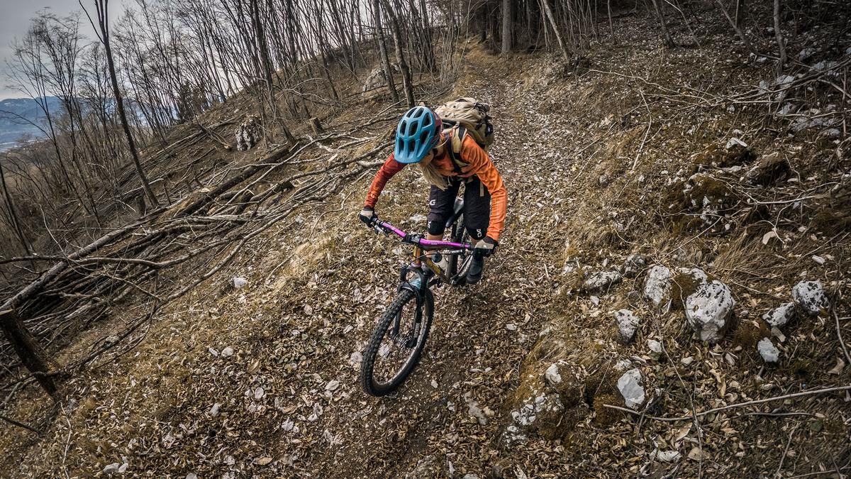
The descent heads north with a difficulty rating of S2 to S2+ and is easily rideable in dry conditions. The changing scenery is exciting, ranging from a southern flair to a densely forested section. Most of the route runs on loose gravel combined with forest floor. Above Stava, you cross the road and then use the crossing beneath Monte Cornon to reach the next section of the trail. This section takes you back to the starting point very smoothly, offering several panoramic views along the way.
Map & GPX-Track
The map is only available to Ride subscribers.
The Ride-Subscription is available at ride-mtb.com/abo
.
Details of the tour
21 km
770 m
760 m
984 above sea level
1683 above sea level
1 day
Tesero
Tesero
3839
well suited
More information
More tours nearby


User comments (0)

About the author: Martin Depauli
Note: This content has been automatically translated from German. Please report any incorrect translations.