

Reiterjoch – Pampeago-Trail

Description
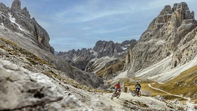
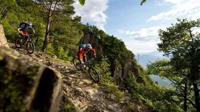
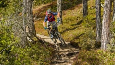
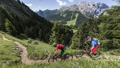
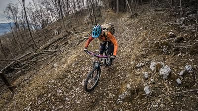
The starting point of this extraordinary route is Obereggen at the foot of the mighty Latemar. The first destination of the day is the Reiterjoch, which lies 450 meters above Obereggen and is easily reached on gravel roads. This is followed by a less spectacular section on a ski slope to Pampeago. There would be a wonderful single trail along the chairlift here, but it is adorned with an oversized no-biking sign. However, the real trail spectacle only begins in Pampeago, a retort hamlet at the foot of the Latermar ski area. This is the starting point of the 8-kilometre super trail (Sentiero 63) down to Tesero. The trail begins at a small reservoir above the parking lot and winds its way through the dense forest along the mountain flank. Character: flowing, fast, occasionally interrupted by short climbs. The trail is something like the ultimate fun maker and its flow is hard to beat. As a rule, you glide over velvety soft forest soil towards the village of Tesero. Instead of turning into the center of the village, however, you keep the altitude to take on a few more trail sections on the way to Panchià. The conclusion at the end of the trail: this detour into Val die Fiemme is a must for anyone who is out and about in the Val d'Ega!
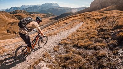
But the tour is not over yet. From Panchià, you cycle along cycle paths via Predazzo to the valley station of the Latemar gondola lift. This rides up to Gardonè, from where you can take a chairlift up to Passo Feudo. Please note: the lifts are "only" in operation from mid-June to mid-September. From Passo Feudo, you roll down a mixture of gravel roads and single trails to the Reiterjoch, which you already know from the outward journey. For the return trip, however, the next singletrail section is now on the agenda instead of the gravel road of the ascent. This is a fun and varied ride, first along the Zanggenbach stream, then around Monte Colfrion to the south and directly to Obereggen.
Map & GPX-Track
The map is only available to Ride subscribers.
The Ride-Subscription is available at ride-mtb.com/abo
.
Details of the tour
34 km
750 m
40 m
949 above sea level
2163 above sea level
1 day
Obereggen
Obereggen
1970
well suited
More information
No bike shops are registered for this region. Registration as a partner takes place here.
More tours nearby






User comments (1)

About the author: Thomas Giger
Note: This content has been automatically translated from German. Please report any incorrect translations.
One of the best routes you can do in the Val d'Ega. Rode the tour on June 23, 2024 in wet conditions, the roots make the trail interesting to ride in places. It's a shame that many trails on the South Tyrolean side of the region have been converted into gravel roads.