

Weisshorn – Bozen

Description
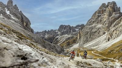
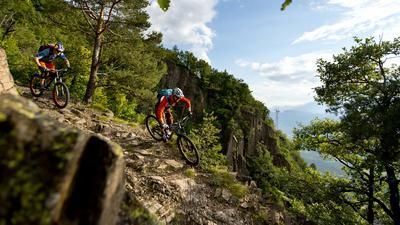
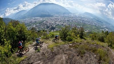
The starting point of the tour is at Jochgrimm above the Lavazejoch (Passo di Lavaze). Ideally, you should take the shuttle up here. If you want to tackle the 1700-metre ascent from Bolzano under your own steam, the easiest way is to take the road through the Eggental valley up to the Lavazejoch and then turn right to the Jochgrimm, another 200 meters further up. The descent back to Bolzano begins with the Weisshorn Höhenweg, which you first have to reach via a 200-metre ascent to the mountain station of the chairlift (not open in summer). On the high trail, you reach the north side of the Weisshorn, then descend in serpentine mode and later reach the Maria Weissenstein pilgrimage church primarily via flowing single trails with a few intermediate sections on gravel roads. From here, a transfer section past Deutschnofen to Titschen above Kohlern is the order of the day, where the singletrail downhill fun resumes. Almost exclusively on single trails with some challenging sections and at the very end via the well-known Schulsteig trail, you reach the valley station of the Kohlernbahn cable car and thus the center of Bolzano/Bozen from Titschen without any uphill sections. Faizt: A great and extraordinary enduro tour with a very high proportion of downhill riding.
Note:
- If you want to climb to the summit of the Weisshorn, you should ideally do so with a detour on foot.
- The Weisshorn is particularly impressive at sunrise. Some bike hotels in the region offer guided tours including sunrise on the Weisshorn.
Map & GPX-Track
The map is only available to Ride subscribers.
The Ride-Subscription is available at ride-mtb.com/abo
.
Details of the tour
36 km
790 m
2500 m
279 above sea level
2151 above sea level
1 day
Bozen
Bozen
1877
limited
More information
No bike shops are registered for this region. Registration as a partner takes place here.
More tours nearby






User comments (2)

About the author: Thomas Giger
Note: This content has been automatically translated from German. Please report any incorrect translations.
Many trails from the original route have now been converted into wide forest roads, and the proportion of trails has unfortunately been considerably reduced. In the lowest section near Bolzano, the trails are also very unkempt and in the summer months are always overgrown. What a shame for this classic tour in the Val d'Ega.
We rode this tour today. We did not like it. We had different expectations based on the description.
The shuttle service with Hofer Arnold worked perfectly. After the pushing passage up to the top station of the chairlift, the high trail is only partly rideable. However, the view from the Weisshorn is very beautiful, even when we weren't on the summit. After that, we missed the primarily flowy single trails up to the Maria Weissenstein pilgrimage church. The proportion of gravel roads is significantly higher and the bike has to be carried over cow fences several times on the few singletrack sections. The church is again very beautiful. From Weisshorn to Titschen there were only about 300 Elevation loss singletrails in total. There were no singletrack trails from the church to Deutscheofen. From Titschen it is a fun singletrail as described. The tour has a total ascent of about 1050 meters. We would not ride the tour a second time and would not recommend it to others.