

Pizzo Erra
Description
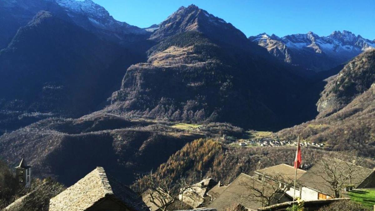
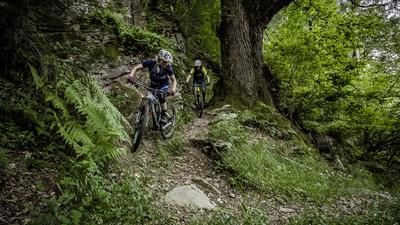
From Biasca, follow the signposted cycle route through the Leventina valley floor via Giornico to the junction just before Lavorgo. Keep right here and start the long ascent, which is asphalted as far as Alp Monte Angone. The route then turns into a gravel path up to the junction at 2025 meters above sea level. A detour to the summit is now possible, which is worthwhile for the view, but not necessarily for the fun. The ascent is steep and the bike has to be carried for the last 200 meters. Then it's back to the junction and from here on to the Capanna dei Piai (no refreshments) with its excellent view of the Leventina up to the Gotthard. The long descent to Biasca awaits, almost 2000 meters of descent. The path is very fun in places, but then rocky again in typical Ticino style. The most beautiful part is the section between Alp Cascine and the village of Sobrio. Now you have to cross the steep ravine of the Dragonebach stream. Here the terrain is partly exposed and the bike has to be pushed in places. After Bidrè, there is a more relaxing section to Diganengo on asphalt and gravel roads until the steep final section. This leads to Pollegio on a bumpy and rocky road. Steps, stone slabs, hairpin bends, stairs - there's everything here that calls for sufficient suspension travel. Don Pellogio then takes you back to Biasca in just a few minutes. Conclusion: This tour is a treat for anyone looking for a technical challenge and a bit of adventure on a bike tour.
Map & GPX-Track
The map is only available to Ride subscribers.
The Ride-Subscription is available at ride-mtb.com/abo
.
Details of the tour
51 km
2165 m
2165 m
290 above sea level
2369 above sea level
1 day
Biasca
Biasca
1277
not suitable
More tours nearby
User comments (2)

About the author: Thomas Giger
Note: This content has been automatically translated from German. Please report any incorrect translations.
For anyone wishing to visit this beautiful region, I recommend following the route through the area suggested by BlenioBike: https://bleniobike.ch/tours/passo-crastumo. Before reaching Pizzo Erra, turn left and climb up to Passo Castrumo; the ascent is almost entirely rideable. Once at the top, you can descend into the Blenio Valley toward the Nara area, which offers an excellent variety of trails in the region.
Comment on the ascent to the summit: the first 200m are on a gravel road, then about 50m are still rideable, after that it is better to leave the bike behind and walk to the summit.
The descent is generally very rewarding, almost all of the Elevation loss is on trails.
From Diganengo, the track is no longer correct (the path no longer exists). Instead, you have to follow the hiking signposts. Up to the alp below, the trail has unfortunately been converted into a highway. After that it gets fun again and the tour ends with a lot of stairs...