

Pointe de Côte Belle
Description
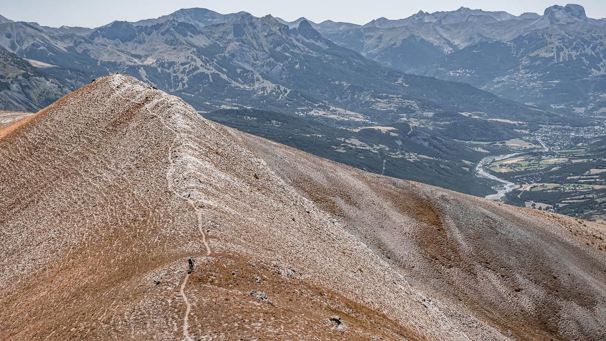
The tour starts at the picturesque little lake Plan d'eau de Siguret in Jausiers. From there, the route briefly heads north on asphalt onto the main road before turning onto the former military road that rides up to Fort de Cuguret. The ascent on the military road is on gravel and is characterized by a medium to moderate gradient. Shortly before the fort, there is already an impressive panoramic view of the Alpes de Haute Provence, which is even better when you tackle the last part of the ascent to the ridge on foot. At an altitude of 2757 meters above sea level, you essentially reach the highest point of the tour. Although the trail continues to the Tête de Cuguret, this section is reserved for specially trained bike specialists due to its extreme exposure and difficulty (S4, S5).
The descent initially follows the ascent route. Between difficulty levels S1 and S2, the trail winds its way down, with the hairpin bends in particular presenting a certain challenge. On the way down, it is also worth taking a look at the fortress before riding the legendary trail from the fort back to the starting point. This section of the trail becomes more challenging and ranges in difficulty from S2 to S3 in places.
Map & GPX-Track
The map is only available to Ride subscribers.
The Ride-Subscription is available at ride-mtb.com/abo
.
Details of the tour
17 km
1285 m
1285 m
1221 above sea level
2512 above sea level
1 day
Jausiers
Jausiers
3203
not suitable
More information
More tours nearby


User comments (0)

About the author: Martin Depauli
Note: This content has been automatically translated from German. Please report any incorrect translations.