

La Bérarde
Description
The route begins in Barcelonnette. At the start, you’ll ride on flat terrain along the well-known Transubayenne route and the yellow Mountain Bike Route No. 3, heading out of town toward Saint-Pons and past the airfield. At the Route des Jourdans, you leave the red Transubayenne trail markers behind. If you consistently follow the yellow sign marked with the number 3, you’ll reach the downhill trail via Les Clots. In this version, the tour is slightly longer, and you’ll climb up a gravel road past the impressive Terres-Noirs area. Finally, you’ll pass a parking lot, climb a bit more, and head above the open areas, including a worthwhile access trail leading into the original descent.
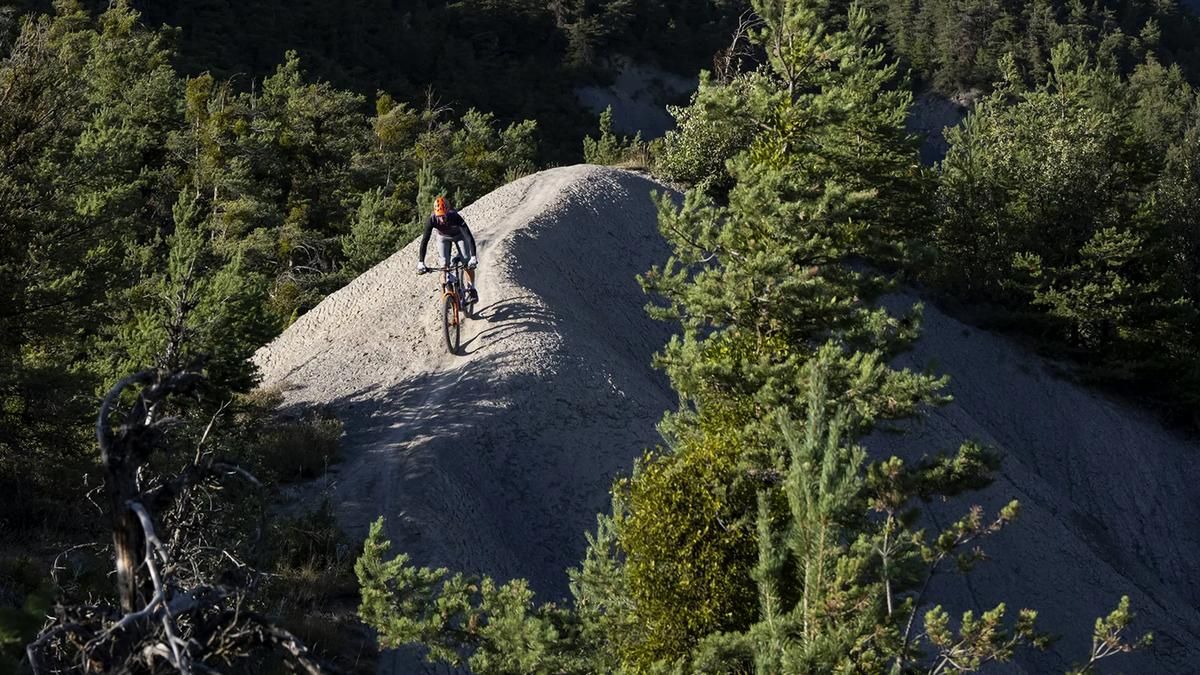
The descent now rides an enjoyable S3 trail and eventually rides along the Torrent de la Bérarde. The terrain here is steep, narrow, and characterized by numerous tight hairpin turns. Once you reach the D900 main road at the bottom, you’ll come across the red Transubayenne signage again and follow it back to Barcelonnette.
Map & GPX-Track
The map is only available to Ride subscribers.
The Ride-Subscription is available at ride-mtb.com/abo
.
Details of the tour
25 km
930 m
930 m
1104 above sea level
1911 above sea level
1 day
Barcelonnette
Barcelonnette
3766
well suited
More information
More tours nearby


User comments (0)

About the author: Thomas Giger
Note: This content has been automatically translated from German. Please report any incorrect translations.