

Digne Backyard
Description
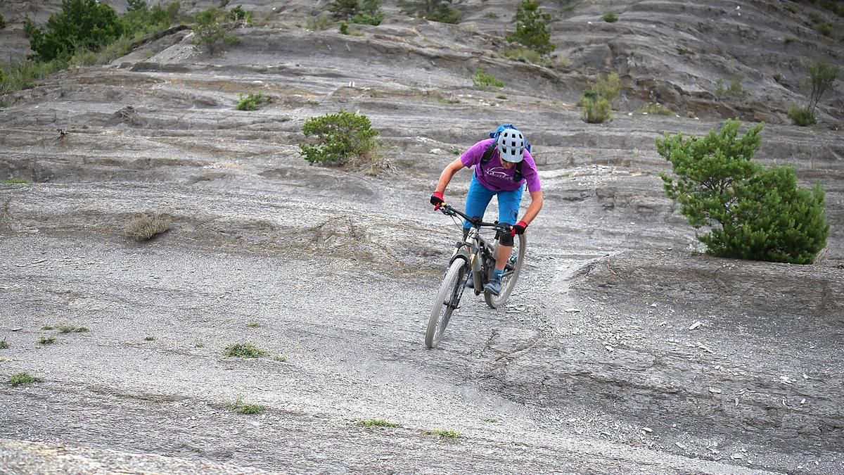
From Digne-les-Bains, the ascent up to Les Dourbes is a relaxed start. A long, rewarding trail traverse with some classic Terres-Noires sections begins here. The trail winds its way around the Feston mountain - first slightly uphill, then mostly slightly downhill, occasionally interrupted by short counter-climbs. In this way, you circle the entire ridge and finally reach the road on the back of the mountain.
The second stage follows immediately: from the center of Digne-les-Bains, you climb comfortably up the road to the Col de Pierre Basse before rolling down a gravel road to the idyllic village of Entrages. Now things get a little more technical for a short while, as you head up to the Pas d'Entrages on a singletrail. Apart from the last steep section, the trail is easy to ride for fit bikers, and the entire section can be mastered with an e-MTB without any problems.
On arrival at the top, the reward is a fun intermediate descent and the varied transfer trail over to the Hautes bâties de Cousson with the striking fountain as a prominent landmark. Then it's time to climb again! Continue uphill on the gravel road before working your way up to the final trail section to the Pas de Boudillon, the starting point of the magnificent final descent.
Caution is advised right at the start: An exposed section requires a sure footing for a few meters - pushing is the better choice here. After that, you can plunge into the downhill rush: initially flowing through the forest, then slightly rough until you reach an unmarked turn-off to the left. This is where the real treat begins: A trail maintained by mountain bikers winds its way through the eastern flank - playful, agile, with small counter-climbs and lots of fun potential. In the last section, the trail becomes a flow firework: fast bends, flowing lines, perfect forest floor - a real trail dream all the way down to the valley floor.
The return trip to Digne-les-Bains is a relaxed ride on the cycle paths along the Bléone - a conciliatory end to a spectacular stage.
Map & GPX-Track
The map is only available to Ride subscribers.
The Ride-Subscription is available at ride-mtb.com/abo
.
Details of the tour
40 km
1370 m
1370 m
570 above sea level
1384 above sea level
Digne-les-Bains
Digne-les-Bains
3482
well suited
More information
More tours nearby


User comments (3)

About the author: Thomas Giger
Note: This content has been automatically translated from German. Please report any incorrect translations.
A wonderful loop of long, mostly easy but truly beautiful trails. Those who put in the extra 100 meters of elevation gain to reach the summit of Cousson will be rewarded with a view of the entire region and a beautiful trail (S2) on the south side leading to Pas de Boudillon.
Nice ride. Mostly S1 with a few S2 sections. The final descent starts with about 5 minutes of S3 terrain, but that’s easy to walk through. After that, the trail is perfectly maintained (S1).
A varied tour with beautiful trails and a great panorama!
After the Feston descent, we went down the road for a short distance and took the tarred road at Pt. 729, which leads directly up to Entrages. This saves you the loop around the Col de Pierre Basse.
In Entrages there is a village fountain with (according to the locals) drinking water. It's worth filling up, as the following climbs are very well sunlit.
Riding technique classification: 3 is certainly ok on average. However, the start of the final descent is probably more difficult (it is black on trail forks).