

Hausberg Waidring
Description
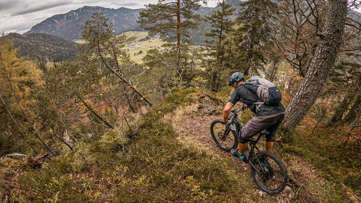
The trail starts in the municipality of Waidring. From here, you pedal towards Unterwasser and take the first trail, the so-called Kreuzweg. A welcome trail opening that whets the appetite for more. At the end of this downhill section at the mill wheel, the route leads back to the village center and then towards Krinnsattel on a moderate and later on a steep incline towards the Hausberg summit. After the Krinnsattel, the bike can only be pushed or carried most of the time. A few hairpin bends take you to the highest point of the tour (1120 meters above sea level). However, the summit cross is still a long way off. There are still a few meters to go before you reach the summit cross at the viewing platform and have a great view towards Waidring and Steinplatte.
From here, the trail descent continues. At difficulty levels S2 to S3, there are a few hairpin bends to master, which are relatively narrow and have a slight incline. Here you need to maintain body tension and focus your gaze. In the area of the drag lift, there is a flowing trail towards the village center, where this tour ends.
Note: The route is located on Austrian territory and leads over routes that are not approved for mountain bikers. Riding this route on a mountain bike is the responsibility of each individual, in full awareness of the legal situation.
Map & GPX-Track
The map is only available to Ride subscribers.
The Ride-Subscription is available at ride-mtb.com/abo
.
Details of the tour
9 km
320 m
320 m
768 above sea level
1055 above sea level
1 day
Waidring
Waidring
2637
limited
More information
More tours nearby



User comments (0)

About the author: Martin Depauli
Note: This content has been automatically translated from German. Please report any incorrect translations.