

Punta Cerisira
Description
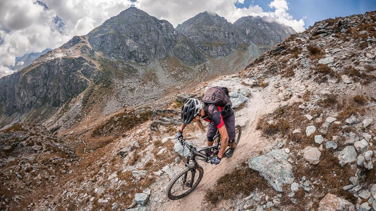
The tour starts at the end of Valle Pellice, a beautiful natural area that is somewhat overshadowed by better-known valleys such as Valle Stura, Valle Varaita, Valle d'Aosta and Valle Susa, but is no less adventurous. The starting point is in Villanova Pellice. From there, the trail rides steadily southwards on a gravel military ramp to an altitude of around 2100 meters above sea level at Bivacco Bergerie Giulian. Up to this point, the ascent is not really a problem. Afterwards, however, the bike has to be pushed or carried up to Col Giulian. The view from there is breathtaking and can hardly be put into words, especially in autumn when the air is clear and dry.
From Col Giulian, the first few meters of the trail begin. After a short trail section, the route is relatively easy over the Passo Dar Loup on an S1 level to the Gran Guglia. The Gran Guglia is ideal for a detour, with only a casemate of the Vallo Alpino to be found in the upper section. The route continues to the highest point of the tour, Punta Cerisira, where the summit is reached together with some military ruins and offers a spectacular view. The trail construction around the summit is also particularly impressive.
This is followed by the main part of the descent with difficulty levels from S1 to S2 and occasionally S3. A short counter-climb takes us to Punta Fiunira, where more casemates can be found before the actual descent begins. The route rides past a few hairpin bends and a spring at an altitude of just under 2200 meters and then steadily back to the starting point in a similar manner, embedded in wild pastures and on sandy, gravelly ground typical of the Western Alps. Overall, this is a very impressive, varied and challenging tour.
As far as e-bikes are concerned, it should be mentioned that the tour is relatively easy to manage with a lightweight e-MTB. With conventional e-bikes, however, it should be noted that the trails are constantly changing and exposed to weather conditions. A comprehensive assessment is therefore difficult, which means that the tour is only suitable for e-bikes to a limited extent.
Map & GPX-Track
The map is only available to Ride subscribers.
The Ride-Subscription is available at ride-mtb.com/abo
.
Details of the tour
27 km
1670 m
1670 m
1234 above sea level
2771 above sea level
1 day
Villanova Pellice
Villanova Pellice
3201
limited
More information
More tours nearby


User comments (0)

About the author: Martin Depauli
Note: This content has been automatically translated from German. Please report any incorrect translations.