

Schneidalm
Description
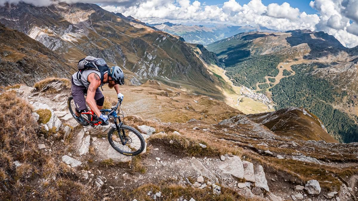
The start is in Moos in Passeier. From here it goes via the hamlet of Stei, via Mitterpill and via the Parmer Höfe farms until it finally crosses the Pfelderer Bach stream to Gasthof Innerhütt. At Gasthof Innerhütt, you finally change to the main road and follow it past Camping Bergkristall to the village of Pfelders-Plan. The going then gets a little tougher and the route is relatively steep on gravel past the last hamlets before you finally turn right onto the hiking trail towards Schneidalm. You push and carry your way further and further up into the wonderful mountain world and finally reach the Schneidalm at an altitude of over 2100 meters above sea level. A wonderfully situated mountain hut in the middle of the Ötztal Alps. Good food, a fantastic view and a relaxed location make you look forward to the downhill.
The descent to Pfelders is an interesting mix of difficulty levels S2 and S3. The last few meters before you reach the village center are particularly challenging. There are a few hairpin bends and steep steps to master here. The route then continues along forest and meadow paths, past Unterstein, before rejoining the main road at Eschbaum. The trail on the opposite side over the Pfelderer Bach stream could be pedaled in parts, but there is a section secured by ropes in the lower section that is almost impossible to pass on a bike. It therefore makes more sense to pedal along the main road. Shortly afterwards, after the Bergkristall campsite, you take the flow trail, which is a toboggan run in winter. The trail ends at Gasthof Innerhütt and you return to the main road. There is then a short ascent onto a trail before the route takes you directly to Platt on difficulty levels S1 and S2 and then continues along a very idyllic and scenic route into the gorge on a historic path. Here you cross a spectacular suspension bridge and pedal past the sports facilities back to the starting point.
Map & GPX-Track
The map is only available to Ride subscribers.
The Ride-Subscription is available at ride-mtb.com/abo
.
Details of the tour
26 km
1170 m
1170 m
945 above sea level
2113 above sea level
1 day
Moos in Passeier
Moos in Passeier
2733
not suitable
More information
More tours nearby


User comments (1)

About the author: Martin Depauli
Note: This content has been automatically translated from German. Please report any incorrect translations.
We rode the lazy version of the tour because of the rainy weather. So from the Bergkristall campsite. The ascent is quite easy (apart from the bike on our shoulders ;-)). There are quite a few hikers (mainly people with mountain experience) despite the rain. The hut is very cozy, great Kaiserschmarrn.
The descent to the Bergkristall is really easy. With a few technical refinements. Fits!