

Aifner Alm
Description
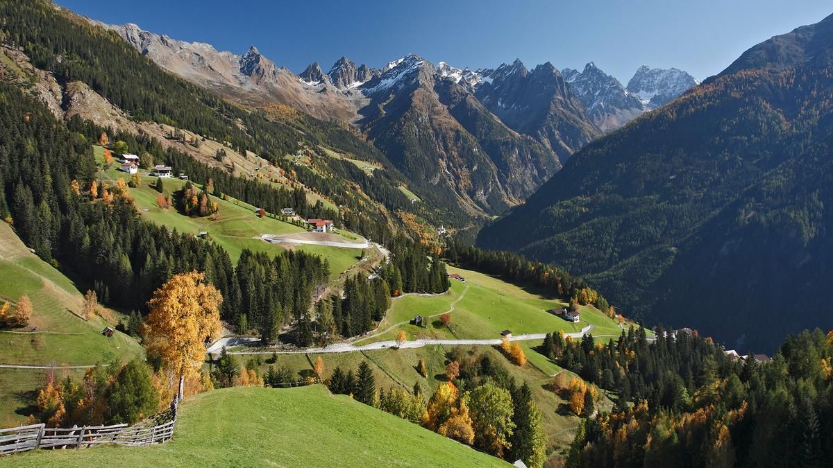
From Prutz, you take bend after bend on an asphalt road up the Kaunerberg. At Brauneben, after around 650 vertical meters, the route turns into a gravel road, on which the remaining 500 vertical meters are completed. In between, a short descent allows you to recover a little. The catered Aifner Alm is the destination and a popular destination for hikers and day trippers - and mountain bikers.
The descent starts just below the Alm in a mix of meadow trails and forest sections. The route is very varied and easy to ride. You pass the Schnadiger Weiher pond and reach the settlement of Falpaus a little later. The route now becomes a little steeper and more challenging, but is still easy to ride. You reach Kauns and finally take the winding Szegediner Luis Steig down to the valley floor, where you cycle along the Fagge river back to Prutz.
Note: The route is located on Austrian territory and leads over routes that are not approved for mountain bikers. Riding this route on a mountain bike is the responsibility of each individual, in full awareness of the legal situation.
Map & GPX-Track
The map is only available to Ride subscribers.
The Ride-Subscription is available at ride-mtb.com/abo
.
Details of the tour
22 km
1180 m
1180 m
872 above sea level
1989 above sea level
Prutz
Prutz
3260
well suited
More information
More tours nearby


User comments (1)

About the author: Thomas Giger
Note: This content has been automatically translated from German. Please report any incorrect translations.
Rode the tour on 03.11.2024.
Very nice tour and the trails are great to ride.
At Goldegg you only have to ride a short loop as the trail was blocked by the farmer with a rope and the path was completely overgrown. But you can get back on the trail in a relaxed manner.
I can recommend the round, it's really great to ride with flow.
LG Regine