

Badener Grenzweg

Description
The starting point is Schapbach in the Wolftal valley north of Wolfach. If you want to tackle the tour from the Freudenstadt region, start in Kniebis, the culmination point of the tour. Starting in Schapbach, you first ride up the 500 meters in altitude and just over 15 kilometers on the L96 road. You pass the village of Bad Rippoldsau and climb up to just before Kniebis. A little before the village, turn right onto a cycle path, which soon turns into a trail. Here you are already on the first section of the border trail. This once separated the Swabian and Zähringen duchies and thus also the Catholic Badeners from the Protestant Württembergers. Today, countless boundary stones and, above all, the border path are still visible from the historic border.
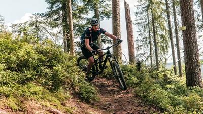
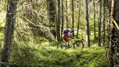
This border path now rides endlessly over the mountain ridge. You pass the village of Zwieselberg and then follow the path, which rides flat for kilometers through the forest. However, there is no question of rolling along at a leisurely pace. The many roots require constant concentration, making the path a sporty affair. The path winds through the forest for such a long time that you will be glad of the individual, short sections on gravel roads! The border trail continues in this way to Sulzerköpfle, where the final descent back to Schapbach begins. To do this, you first follow a former Holzer road before entering a first-class and super-flowing singletrail further down. Finally, a mix of small roads and trails leads down to the center of Schapbach.
Note: The tour is located in Baden-Württemberg with the legal requirement of a two-meter rule. This tour contains elements that do not comply with this regulation. Rather, it reflects routes that are ridden by local mountain bikers. Compliance with the regulations is the responsibility of each individual mountain biker.
Map & GPX-Track
The map is only available to Ride subscribers.
The Ride-Subscription is available at ride-mtb.com/abo
.
Details of the tour
36 km
700 m
700 m
405 above sea level
925 above sea level
1 day
Schapbach
Schapbach
2457
well suited
More information
More tours nearby




User comments (2)

About the author: Thomas Giger
Note: This content has been automatically translated from German. Please report any incorrect translations.
We didn’t want to start in Schapbach because we were staying at a hotel in Freudenstadt. We rode the “Baiersbronner Kniebis Gravel” trail all the way to Kniebis. Yes, it’s true—this tour is definitely no walk in the park; it’s hard work. In addition to the many roots and blocked sections, the numerous mud holes made it difficult for us to get through. So it’s best to ride this tour after a long dry spell. And after Zwieselberg, the trail was completely overgrown with blackberry vines—impossible to get through. Then we got a bit lost a few times, so we ended up in Schenkenzell, feeling a bit frustrated. No one was up for the climb back to Freudenstadt. We took the bike path to Schiltach-Mitte and then the RS1 train back to Freudenstadt.
I recommend starting from Kniebis.
There are plenty of parking spaces up there and it is advisable to do the first trail kilometers early, as the border trail, at least the first 3-5km from Kniebis, is often frequented by hikers.
When you reach the road in Schapbach, you should turn left over the wooden bridge about 500m after the sawmill.
At the next house, ride onto the farm on the right-hand side.
A trail continues uphill to the right of the stream and then to the right.
Stay to the left of the main road and avoid the traffic.
You pass game enclosures and reach Hörmanns Brunnen, where you can treat yourself to a cool drink for a small fee. Take the path up via the road.
This keeps you parallel to the main road. There are now a few individual farms along the slope. After the inn "Zum Letzten G'stehr" turn left again onto a path.
Keep left again uphill at the river. After 350m, turn right onto the Black Forest pleasure trail.
You can ride along this to the Fürstenbau Stift St. Luitgard. After 200m on the main road, turn left onto a newly constructed cycle path to the Waldkultur Haus. You can take a break in the "old watering place". From the Waldhaus you can use the road to climb to Kniebis, or take a forest road.