

Grosse Grenzweg-Kombination

Description
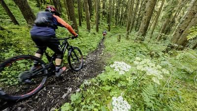
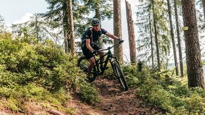
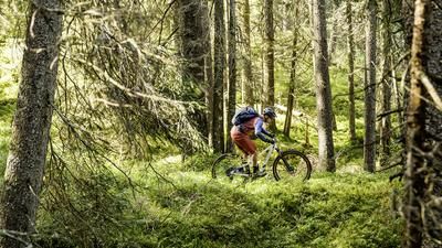
The starting point is Freudenstadt, where you will later ride back to by train. You initially roll southwards through the scented rose park and on gravel roads with gentle ups and downs in the direction of Kniebis. After eight kilometers, you turn left and reach the border trail. This once separated the Swabian and Zähringen duchies and thus also the Catholic Badeners from the Protestant Württembergers. This border path now rides endlessly over the mountain ridge. You pass the village of Zwieselberg and then follow the path, which rides flat for miles through the forest. However, there is no question of rolling along at a leisurely pace. The many roots require constant concentration, making the path a sporty affair. The path winds through the forest for such a long time that you will be glad of the individual, short sections on gravel roads! The route rides in this manner all the way to Schmidsberger Platz. The border trail itself would lead a little further, but here we take the descent into the valley of the Kleine Kinzig to tackle the next border trail on the opposite ridge. The descent is not very spectacular and primarily rides on gravel roads down to Reinerzau, where you immediately climb up again on a small road to an inconspicuous pass. This is where the second part of the border trail orgy begins.
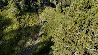
This is often fast and flowing, but also interspersed with tricky or rougher sections. Sometimes it's uphill, then downhill again, often flat over the ridge. In this great and varied way, the trail continues for a long time through the forest until you finally reach a gravel road, which you follow downhill to the saddle. Here you could now climb up to the Staufenkopf. However, the ascent is steep, non-motorized bikers push here, and the subsequent descent is almost unrideably steep. That's why you go around the outside here to join the trail south of the Staufenkopf, which leads to the center of Schenkenzell.
In Schenkenzell, after more than 16 kilometers of singletrail, you can get on the train and ride back to Freudenstadt on the Kinzigtalbahn.
Note: The tour is located in Baden-Württemberg with the legal requirement of a two-meter rule. This tour contains elements that do not comply with this regulation. Rather, it reflects routes that are ridden by local mountain bikers. Compliance with the regulations is the responsibility of each individual mountain biker.
Map & GPX-Track
The map is only available to Ride subscribers.
The Ride-Subscription is available at ride-mtb.com/abo
.
Details of the tour
32 km
590 m
970 m
355 above sea level
883 above sea level
1 day
Freudenstadt
Freudenstadt
2459
well suited
More information
More tours nearby



User comments (1)

About the author: Thomas Giger
Note: This content has been automatically translated from German. Please report any incorrect translations.
For the return trip from Schenkenzell to Freudenstadt, I suggest riding along the bike path for about 4 kilometers to Schiltach-Mitte and then taking the RS1 train back to Freudenstadt.