

Rötenbacher Grenzweg

Description
The base of the tour is Schenkenzell in Kinzigtal. If you want to take it easy, take the train to Lossburg and climb up a small road to Ödenwald. The ascent under your own steam through the valley of the Kleine Kinzig is more athletic but also more scenic. To do this, you follow the little-used main road for quite a long time before climbing up to the Kinzigtal reservoir at upper Reinerzau. Here, the surface changes from asphalt to gravel, with an unabated, pleasant gradient up to Vordersteinwald, the culmination point of the tour.
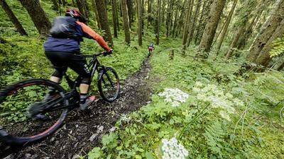
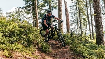
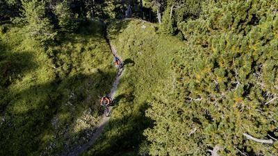
A short stretch downhill on the road until the path to Ödenwald branches off to the left, which turns into a great path along the Lohmühlebach stream after crossing the road. This takes you to the waterworks, where you will once again have to use your own muscle power. On an initially quite steep gravel road, you climb up to Schömberg and roll south of it back into the forest. The next trail section soon begins on the left: a flowing and agile path winds its way through the forest to the ridge above Alpirsbach. This is followed by a gravel road transfer, you pass a small pass and a little later join the border trail that rides over the ridge. This is often fast and flowing, but also interspersed with tricky or rougher sections. Sometimes it goes uphill, then downhill again, often flat over the ridge. In this great and varied way, the trail continues for a long time through the forest until you finally reach a gravel road, which you follow downhill to the saddle. Here you could now climb up to the Staufenkopf. However, the ascent is steep, non-motorized bikers push here, and the subsequent descent is almost unrideably steep. For this reason, you should go around the outside of the road here to join the trail south of the Staufenkopf, which rides into the center of Schenkenzell.
Note: The tour is located in Baden-Württemberg with the legal requirement of a two-meter rule. This tour contains elements that do not comply with this regulation. Rather, it reflects routes that are ridden by local mountain bikers. Compliance with the regulations is the responsibility of each individual mountain biker.
Map & GPX-Track
The map is only available to Ride subscribers.
The Ride-Subscription is available at ride-mtb.com/abo
.
Details of the tour
36 km
920 m
920 m
355 above sea level
822 above sea level
1 day
Schenkenzell
Schenkenzell
2458
well suited
More information
More tours nearby




User comments (1)

About the author: Thomas Giger
Note: This content has been automatically translated from German. Please report any incorrect translations.
We were staying at a hotel in Freudenstadt. That’s why we rode to Vordersteinwald to start the tour there. Unlike Tour 2457, the trails are “easier” and almost entirely rideable. You don’t actually reach the Grenzweg trail until after Schömberg. Here, after the view of Alpirsbach from the monastery, there are a few uphill sections where you’ll have to push your bike. And from Schenkenzell, it’s about 4 kilometers on the bike path to Schiltach-Mitte, and then back to Freudenstadt on the RS1 train.