

Baisse de Prenier Supertrail
Description
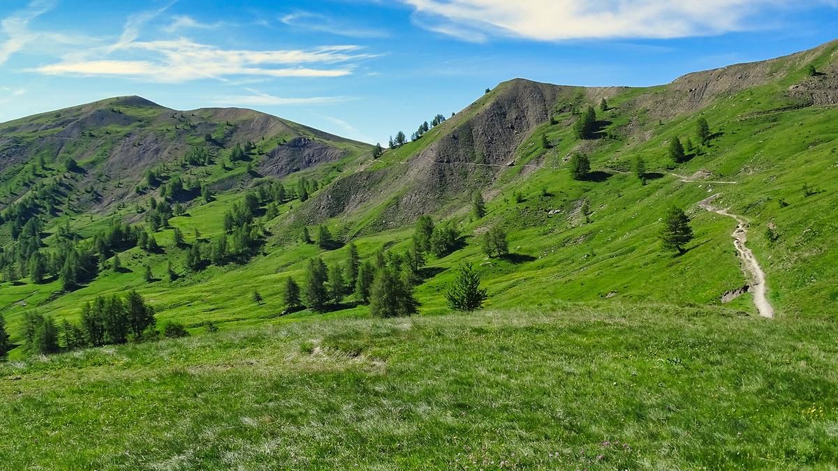
Due to a lack of alternatives, the climb from Allos to the Col d'Allos follows the rarely ridden main road. This route covers almost the entire elevation gain. Immediately after the pass summit, turn right and climb a bit further up a well-rideable singletrack to the Baisse de Prenier. The scenery here is very impressive; the pass lies right at the entrance to the Mercantour National Park.
At the Baisse de Prenier, the S2-level singletrack descent to Allos begins. In the upper section, it winds smoothly and is well-maintained through the forest. Eventually, you reach a farm, from where the signposted route leads down the gravel road to Allos. However, there are frequent direct trails rated S3 that allow you to replace the gravel descent with singletrack sections. The descent thus ends right on the outskirts of Allos.
Map & GPX-Track
The map is only available to Ride subscribers.
The Ride-Subscription is available at ride-mtb.com/abo
.
Details of the tour
26 km
935 m
935 m
1438 above sea level
2353 above sea level
1 day
Allos
Allos
3781
well suited
More information
More tours nearby


User comments (0)

About the author: Thomas Giger
Note: This content has been automatically translated from German. Please report any incorrect translations.