

Col de Cou
Description
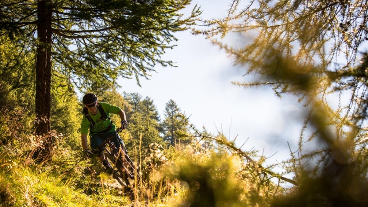
270 steep meters in altitude have to be overcome up to the Col de Cou - and for this reason, hardly any downhillers from the bike park "get lost" on this route. For enduro riders, however, the climb is worth the effort. First, however, you ride the gondola to Croix de Culet and then roll via Les Pas and La Palisa to La Poya. The route on this section consists primarily of gravel roads and short singletrail sections. At La Poya, things get down to business: the ascent is steep but manageable for fit riders without putting a foot on the ground. If you don't have the strength, push your bike on this section. From the Col de Coux, ride down the ascent route to the junction with the bike route. Follow this to the ridge and then take the wonderful trail on the ridge past the Croix d'Incrence to a saddle in the forest. Head right down to the group of houses at Barme and push your bike up the opposite slope. Now it's time for the top-class descent to Grand Paradis, the suburb of Champéry. Take the little road back to the valley station.
Note: Champéry has now banned bikes on almost all paths that are not specifically part of the bike park. This also includes the ridge path at Croix d'Increne and the descent to Grand Paradis.
Map & GPX-Track
The map is only available to Ride subscribers.
The Ride-Subscription is available at ride-mtb.com/abo
.
Details of the tour
19 km
470 m
1353 m
1020 above sea level
1923 above sea level
1 day
Champéry
Champéry
1515
well suited
More tours nearby


User comments (3)

About the author: Thomas Giger
Note: This content has been automatically translated from German. Please report any incorrect translations.
I rode the tour on 17.08.2021 after the Cabane d'Antème. For CHF 5.50, the gondola including bike took me to Croix de Culet, the cheapest vertical meters ever. As I was aware of the problem of bike bans/hikers, I took one of the last gondolas and didn't start the tour until 17:15. But I met exactly 2 hikers on the way.
The approach to the Col de Cou is exactly as described, the last section is really quite steep.
This is followed by super trails throughout, but it would actually be very difficult to cross, so I completely understand the various bike bans. However, the bans should be limited in time. The loop through the Forêt de Barme is a beautiful forest trail, but without any particular highlights. From Barme you then cover 400 m on the gravel road to Paradise, perhaps there is another option from Barme in the direction of "Sous la Dent"? Even if not an absolutely worthwhile tour, if you don't get in the way of the hikers.
I ride a Scott Genius Ultimate, I'm usually in the head group uphill; downhill I'm always last, by a long way.
August 1st, 2019
From point 1815, Alp Berroi closed by an official bike ban! A hiking trail descends to the left to the road at 1503m. No hikers on this section.
I did the trail on 5.8.18...a wonderful tour! Unfortunately, the upper parts were marked with no biking signs! When I saw how the beautiful trail was damaged by bikers, I also realized that this has led to conflicts. It's a shame that it's not possible to show consideration for trails and hikers at the same time, as is possible in Graubünden! You can also enjoy trails, top speed belongs on the slopes!