

Farol da Ponta Moreia (Leuchtturm)
Description
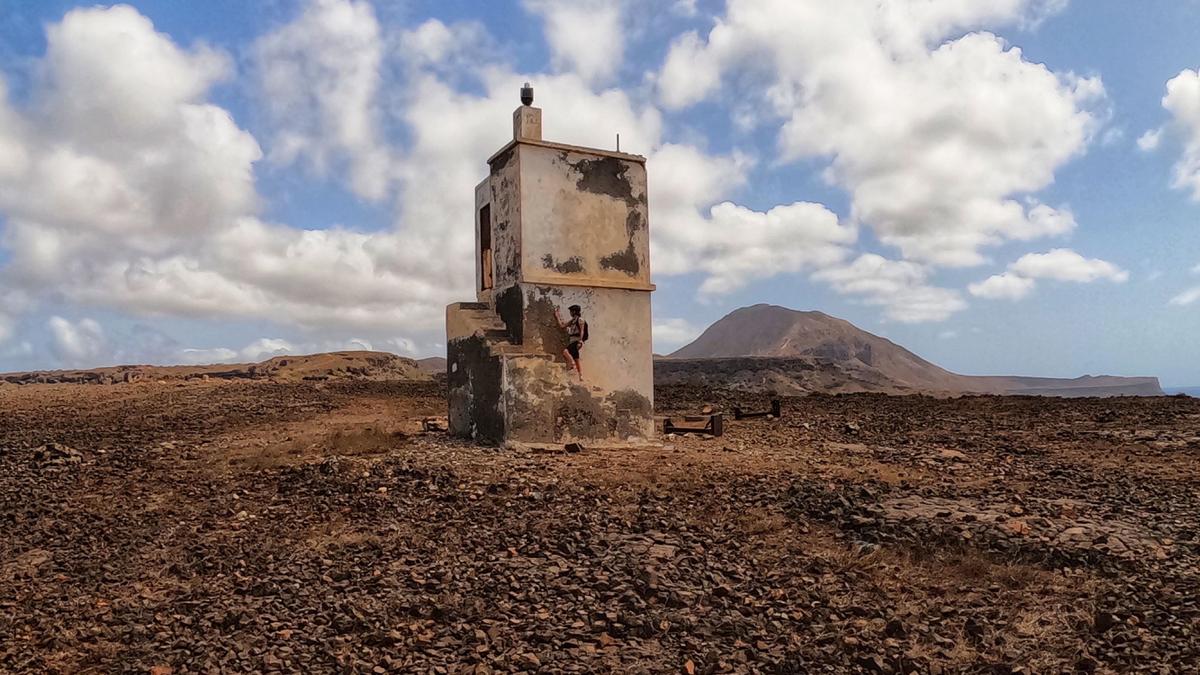
From the center of Tarrafal, you initially roll along the main road in a southerly direction, but then turn left immediately after the end of the village onto a gravel road that rides through the hinterland of Tarrafal. You will eventually reach the road from Tarrafal to the east coast. You could also climb directly on this road (which has little traffic), but the detour through the hinterland is more varied. Climb up to the culmination point on this road and a little later turn left onto the road to Tràs os Montes and again later onto the road towards Fazenda. Instead of turning off towards the village, head straight on towards the lighthouse. The path becomes increasingly rough and ends directly at the ruined lighthouse, the northernmost point of the island of Santiago.
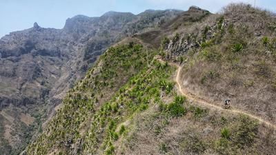
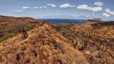
Now it's time for the return journey with a significantly higher proportion of singletrack. Initially, you ride back on the rough gravel road and, after a steep section, turn right onto the singletrail. This leads down a rough and challenging descent to a stream bed. Now it becomes smoother and you head through dry no man's land away from civilization on a beautiful trail. Again and again, short but crisp climbs are necessary, and finally you arrive at the beautiful beach of Fazenda. It is not uncommon to see turtles here, and with a bit of luck even whales.
The return journey to Tarrafal is now imminent, and it is a tough one: the gravel road to Fazenda is steep and rough but rideable. After the small village, the road improves but is no less steep. In this village, you fight your way 200 meters up to the plateau and follow the road to Tràs os Montes as on the outward journey. At a small clinic, a trail begins just behind the house, which (interrupted by a section on gravel) leads down to Tarrafal.
Note: There is no mobile phone reception on the route in the region of the lighthouse and water can only be bought in a small bar in Tràs os Montes.
Note: There are two trail options from the plateau that lead directly back to Tarrafal. However, both are in very poor condition and not worthwhile (April 2022).
Map & GPX-Track
The map is only available to Ride subscribers.
The Ride-Subscription is available at ride-mtb.com/abo
.
Details of the tour
33 km
575 m
575 m
9 above sea level
228 above sea level
1 day
Tarrafal
Tarrafal
2283
well suited
More tours nearby



User comments (0)

About the author: Thomas Giger
Note: This content has been automatically translated from German. Please report any incorrect translations.