

Gomgom-Trail
Description
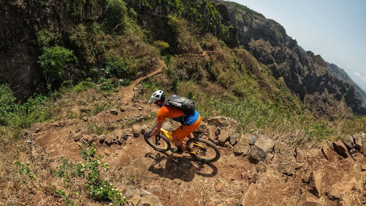
The tour starts at Serra Malagueta, right at the top of the pass between Tarrafal and Assomado. You can get up here with one of the numerous pick-up shuttles. Then it's time to use your own muscle power: follow the ridge on a paved and then gravel road. Mostly uphill, quite steep at times, but also over a wonderful single trail at the end. Finally, the gravel road ends and turns into a single trail. For the first few meters, you are still on the legendary Malagueta trail, but then you head straight ahead at a left-hand bend and get an idea of the character of the descent right from the start: steep and winding. The first section is a narrow switchback, then the path widens a little, but remains challenging. Every now and then, a pushing passage is necessary because the path rides through very steep terrain and a fall would also be a fall. However, the sections are easy to recognize and the walk is easy. A little later, the path is immediately smoother and rideable again. In this mode, the route leads through a fantastic rocky landscape past the village of Gomgom. From here, the path is noticeably easier and smoother and you literally fly towards the valley floor of the Principal Valley. You reach the road, follow it to the coastal road and follow this with a steep climb back to Tarrafal.
Note: A ticket is required to enter the Malagueta National Park (2 euros/person), which is available just below the park entrance. In an emergency, the porter will also collect the entrance fee in person.
Map & GPX-Track
The map is only available to Ride subscribers.
The Ride-Subscription is available at ride-mtb.com/abo
.
Details of the tour
29 km
540 m
1375 m
9 above sea level
1041 above sea level
1 day
Tarrafal
Tarrafal
2288
well suited
More tours nearby


User comments (0)

About the author: Thomas Giger
Note: This content has been automatically translated from German. Please report any incorrect translations.