

Fort Pernant
Description
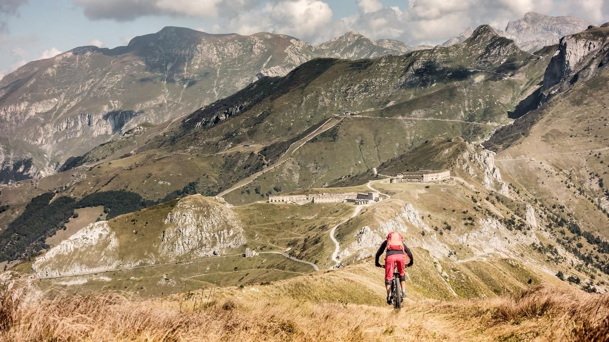
The tour starts in the small but pretty French town of Tende. From here, the main road (D6204) climbs steadily uphill on asphalt to the southern tunnel portal. Before the tunnel portal, take the military road with its endless number of hairpin bends and climb up to Colle di Tenda (1871 meters above sea level). The view here is magnificent, especially on autumn days, and from Colle di Tenda onwards it is in a class of its own. From Colle di Tenda it is only a few meters to Fort Pernant. Once you reach Fort Pernant, the view is magnificent and you should definitely enjoy the panorama with a hearty snack. The precision and strategic thinking that went into building these structures at this altitude is incredible.
The descent leads back to Colle di Tenda on a trail with difficulty level S2. Shortly before this, or at Opera 255 of the Vallo Alpino, turn right along the former military road to Fort de Marguerie. A panoramic crossing that is second to none! Along the entire ridge, you are partly above the vegetation line and have views as far as the Mediterranean on a clear day. In the area of the Batteria Monte Agnellino or Monte Agnellino, the route climbs again briefly before the trail fun begins. The trail winds its way back to Tende on a historic path at difficulty level S2. The terrain typical of the Maritime Alps combined with the local vegetation make this a special treat. Not too steep, not too flat, you surf endlessly back to the starting point in Tende before you can treat yourself to a well-earned meal of great French cuisine after this gigantic tour. On this tour, it is important that e-bikers pay attention to the battery capacity, as there are no charging facilities along the tour.
Map & GPX-Track
The map is only available to Ride subscribers.
The Ride-Subscription is available at ride-mtb.com/abo
.
Details of the tour
45 km
1720 m
1720 m
784 above sea level
2172 above sea level
1 day
Tende
Tende
2162
well suited
More information
More tours nearby


User comments (3)

About the author: Martin Depauli
Note: This content has been automatically translated from German. Please report any incorrect translations.
The old road to Col de Tende is currently (August 2026) closed due to construction in the south. Alternatively, take Tour #2665 or push your bike for 30 minutes to Asila Arnaldi at WW362 (about 1 kilometer before the construction site), then take the first right at the intersection and head west uphill (follow the “Riviera Bike” signs).
As long as the tunnel portal is under construction, there is absolutely no way through. Everything is barricaded and you can't get through even by climbing and carrying. And the construction workers can't be bribed either.....
The tour is not feasible. The military road from the tunnel portal is closed or barricaded. Alternatives are: Limone IT or Casterino