

Fort Tabourde
Description
The tour starts in the small but well-known village of Tende. From here, take the main road via Vievola and continue uphill on asphalt to the tunnel portal. Shortly before the portal, turn left onto the old military road, along the historic buildings with the seemingly endless number of hairpin bends up to the Colle di Tenda (1871 meters above sea level). The higher you drive up this road and reach the border between France and Italy, the more historic the tour becomes. An endless number of military buildings, perfectly integrated into the surroundings, are in your field of vision. It is breathtaking to see what has been built in this area over the past decades or centuries. From the pass, the route continues to Forte Colle Alto and the military road to Fort Tabourde, where the trail descent begins.
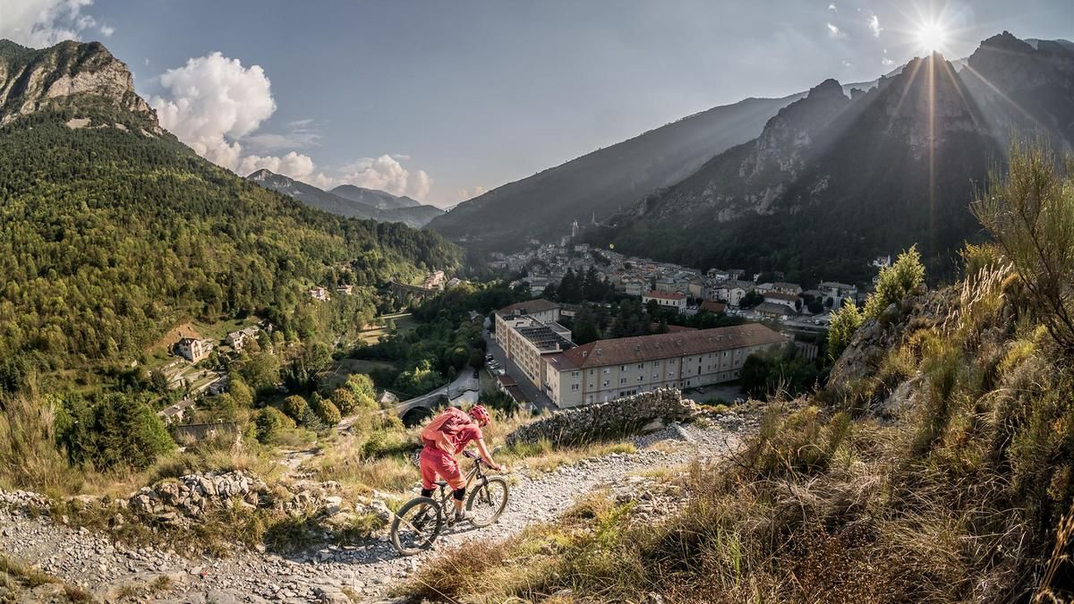
From here, a fantastic descent begins on a difficulty level of S2 to S3 down to Tende. It starts off relatively easy, but rock faces and hairpin bends in the upper section test whether you are ready to continue. A short detour to Mont Court (1719 meters above sea level) is recommended if you have enough time. Here, too, there is a military installation of the Vallo Alpino and a magnificent view of the Roya Valley. The route then continues in endless fashion back to Tende. Especially in the lower part after the short gravel road crossing, the trail is heavily used by the locals and offers pure Alpine flair.
Map & GPX-Track
The map is only available to Ride subscribers.
The Ride-Subscription is available at ride-mtb.com/abo
.
Details of the tour
27 km
1180 m
1180 m
795 above sea level
1962 above sea level
1 day
Tende
Tende
2160
well suited
More information
More tours nearby


User comments (2)

About the author: Martin Depauli
Note: This content has been automatically translated from German. Please report any incorrect translations.
The old road to Col de Tende is currently (August 2026) closed due to construction in the south. Alternatively, take Tour #2665 or push your bike for 30 minutes to Asila Arnaldi at WW362 (about 1 kilometer before the construction site), then take the first right at the intersection and head west uphill (follow the “Riviera Bike” signs).
The tour is not feasible. The military road from the tunnel portal is closed or barricaded. No one has ridden the road segment since the tunnel opened. Alternative via Limone IT and the mountain railroad.
The descent is fantastic. Aosta-like trail runs along the ridge and slopes.