

Monte Clapsavon
Description
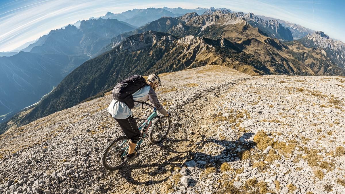
The tour starts in Forni di Sopra. At first, the route follows a paved road through populated areas, then continues steadily uphill on a gravel path, offering some excellent panoramic views toward Torrente Agozza. At Torrente Agozza, the trail becomes increasingly bumpy, turns into a cart track, and follows Sentiero 210 uphill toward the Francescutto bivouac. From there, you’ll need to push or carry your mountain bike toward Forcella Cjansaveit, also on Sentiero 210. From here, the sweeping views—from the Dolomites all the way to the Carnic Alps—are already very impressive. The route then continues via a very arduous and exhausting alternative ascent on gravel up to 2,462 meters above sea level to the summit of Monte Clapsavon. In good weather, the view here is absolutely breathtaking. From the Grossglockner and the Hohe Tauern, across the Dachstein, all the way to Trieste and the Mediterranean Sea—plus the Italian Pre-Alps, the entire Friuli region, and the Carnic Alps—everything lies at your feet. The summit is marked by a cross with a distinctive bell.
Then the descent begins. With a difficulty rating of S3 to S4, the route is a steady, challenging descent. You make your way down to Forcella Cjansaveit at this pace. There is a short section where you’ll need to push your bike, as the trail has eroded somewhat; afterward, the route continues along the Torrente Agozza with a difficulty rating of S2 to S3. Follow Sentiero 210 toward the fork leading to Sentiero 222. Alternatively, you can also take this descent, which involves crossing a stream. It’s also possible to return to the valley via Sentiero 210. Both Sentiero 210 and Sentiero 222 are rated S2 in difficulty.
Map & GPX-Track
The map is only available to Ride subscribers.
The Ride-Subscription is available at ride-mtb.com/abo
.
Details of the tour
16 km
1520 m
1490 m
898 above sea level
2402 above sea level
1 day
Forni di Sopra
Forni di Sopra
3827
not suitable
More information
More tours nearby



User comments (0)

About the author: Martin Depauli
Note: This content has been automatically translated from German. Please report any incorrect translations.