

Monte Brizzia
Description
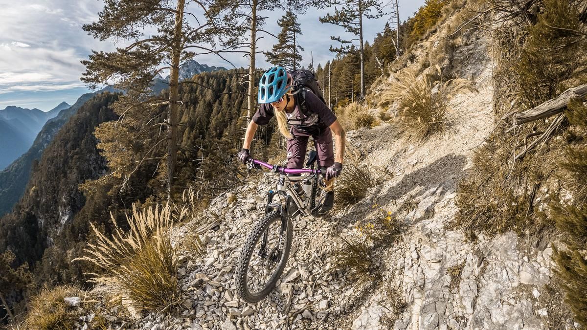
The tour begins in Pontebba. From here, the route leads through the former Zanibon barracks onto a gravel path—or rather, a forest road—along which the Sentiero 501 hiking trail runs, and continues steadily uphill. The incline is moderate to medium, but in some sections it is very challenging because the gravel is heavily eroded and steep gradients must be expected. In the area around Ciofnik and the alpine pastures, the trail becomes increasingly narrow and eventually turns into a former military trail that leads directly to the summit. Some sections, particularly the traverse on the western flank, are somewhat exposed but easily passable. At 1,570 meters above sea level, after a long stretch of carrying or pushing your bike, you reach the highest point of the tour, which offers a very impressive view over the Kanaltal valley toward the Mittagskogel, the Julian and Carnic Alps, and south toward Venzone.
The descent follows the same route as the ascent. For the most part, it isn’t really difficult to ride, but in the exposed sections, the upper part ranges between S1 and S3 passages. From the traverse onward, the trail becomes very smooth and, thanks to the switchbacks, is mostly rideable at the S1 level. From the alpine hut, however, you’ll still need to cover a few meters of elevation gain on the forest road before taking the final S1-level trail shortcut at the Auria Chapel, where the loop ends near the Pontebba train station.
Note: This tour can be easily completed on a lightweight e-mountain bike, provided you push or carry the bike through certain sections.
Map & GPX-Track
The map is only available to Ride subscribers.
The Ride-Subscription is available at ride-mtb.com/abo
.
Details of the tour
13 km
980 m
980 m
561 above sea level
1524 above sea level
1 day
Pontebba
Pontebba
3826
limited
More information
More tours nearby




User comments (0)

About the author: Martin Depauli
Note: This content has been automatically translated from German. Please report any incorrect translations.