

Monte Legnoncino

Description
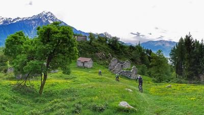
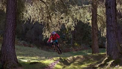
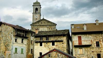
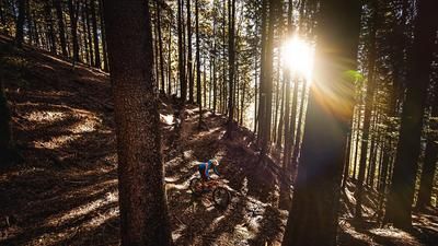
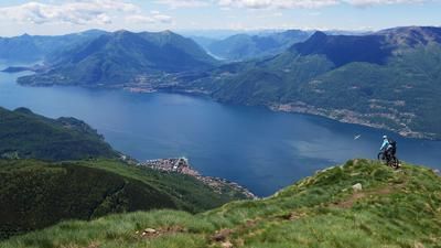
From Colico, you initially roll along side roads to the campsites at Laghetto di Piona and then follow the main road to Dèrvio. This is where the long climb up to Monte Legnoncino begins. A small road takes you up past Sueglio to the first houses of Lete. A mountain path then leads to Subiale, from where you finally reach Roccoli dei Lorla. The ascent up to here is on an asphalt road, but the final section to the summit must now be tackled on a rough gravel track. The last few meters then lead over a single trail. You should take some time to enjoy the panoramic view from the summit, which is simply fantastic and extends over the whole of Lake Como, into the Valtellina and the southern Alps of Graubünden. The descent leads to Roccoli dei Lorla via the ascent route. Just after the small lake, the singletrail begins, which is initially very technical and follows the steep northern flank of Monte Legnoncino. Things really get going at Artesso, where a fun and varied trail leads past various small hamlets and down almost exactly 1000 meters in altitude to the first houses above Colico.
Map & GPX-Track
The map is only available to Ride subscribers.
The Ride-Subscription is available at ride-mtb.com/abo
.
Details of the tour
44 km
1465 m
1465 m
1 day
Colico Piano
Colico Piano
1592
well suited
More information
More tours nearby








User comments (7)

About the author: Thomas Giger
Note: This content has been automatically translated from German. Please report any incorrect translations.
A great tour overall (even though the elevation gain was actually greater than listed). Definitely take the climb to the summit—the view is truly amazing. Follow the hiking trail from the summit only as far as the hairpin turn; after that, it becomes unrideable. Since it was fall, there were plenty of leaves and chestnuts on the trail here as well. There are some flat, easy, and unspectacular sections, but overall there’s a very high proportion of trail riding, which makes up for it. We tried the route from the saddle to Sommafiume; the steep section here was too rocky to ride, but it was rideable on the way down—it’s probably better to stick to the trail! After Vezzee, you could try taking the lower path instead of the upper one, which runs along the ridge. Overall, my experience at Lake Como after four days of trail riding: the trails are rarely used by hikers or cyclists, and in the lower sections, you often end up rumbling down the typical, boring cart paths. None of the four trails (Piazza, Vercana, Legnoncino, Coltigone) were really challenging; if that’s what you’re looking for, this isn’t the place for you. It’s a real shame—I think Lake Como’s heyday for biking is behind it. Scenically, however, there are beautiful views time and again, and the temperatures are still pleasant for cycling in the fall.
Today, six of us rode this trail. It’s one of the best rides I’ve ever done! The climb drags on, especially in the heat. The view at the top is amazing, but for a great trail experience, you don’t need to ride the final 260 meters of elevation gain—see the previous comments as well. The trails starting from the Refugio are varied, ranging from rocky and rough to smooth and flowing. The trails just seemed to go on forever. Here and there, the path wasn’t immediately visible, but the quality of the GPX file is very good, so you won’t get lost. Thanks, Ride, for this great tour!
Great tour, I think one of the best in the region, don't miss the summit, even if only very few people ride to it. 360 degree all-round view!
The hiking trail from the summit only goes downhill at the beginning (then briefly s3, some S5, some S2), better from the viewing platform on the path and from the house there are still a few meters downhill (unlike in the track). The track was necessary in April, as everything was hidden under leaves and wood in between. As the previous speaker wrote, the end is associated with bike balancing, especially in wet conditions. It is nice to be able to return to the starting point by train for €1.90, tickets can be bought on the train. The coastal road is no fun.
Parking is also available if you ride up the hill a bit at the beginning.
Great tour with a summit experience and a varied descent. The trail to Artesso is in good condition again this year, and the rest of the descent was easy to find and ride. Only at the end, along the stream, are there a few meters of carrying. There is no more flow.
Super tour with stunning views. The trail to Artesso is still in good condition and flowy to ride. The tour therefore still rated 3 out of 6 (S2) in my opinion.
Super view. The traverse to Artesso has been newly upgraded (S1-S2).
The paths to Colico are well maintained and fun. Probably not least because the Lario Bikemarathin took place the following day. Here is the route --> https://www.lakecomobikemarathon.it/percorso/
The path from about Artesso down to the forest is impossible to find without GPS when there is still foliage lying around