

Alpe Camaggiore

Description
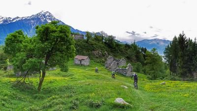
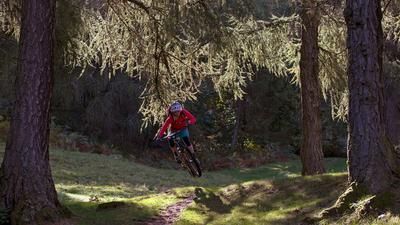
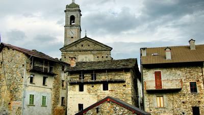
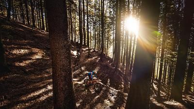
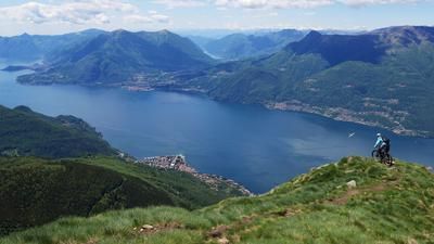
From the northern part of Bellano, take the mountain road up to Vendrogno, pass the mountain village of Sanico and, a little after the settlement of Buse, take the gravel road to the group of houses in Camaggiore. A short time later you are on the ridge below Monte Croce di Muggio. Here, after a break, you start the descent. Just below the ridge, turn left onto a single trail, which is later marked with small mountain bike signs. It is worth following these markings. The trail is pure and varied riding fun and leads down almost 1000 meters in altitude to Dervio. You return to Bellano on the road along Lake Como.
Map & GPX-Track
The map is only available to Ride subscribers.
The Ride-Subscription is available at ride-mtb.com/abo
.
Details of the tour
25 km
1075 m
1075 m
202 above sea level
1224 above sea level
1 day
Bellano
Bellano
1644
well suited
More tours nearby










User comments (5)

About the author: Thomas Giger
Note: This content has been automatically translated from German. Please report any incorrect translations.
Very nice tour, pleasant ascent, very nice view. Unfortunately it was probably raining very heavily beforehand and the path was full of leaves, wood and stones in between, without Gpx data you would not have found it, path not recognizable in between.
Very nice tour, pleasant ascent, very nice view. The descent would be more of a 4. Unfortunately it was probably raining heavily beforehand and the path was full of leaves, wood and stones in between, without Gpx data you wouldn't have found it.
Very nice tour, pleasant ascent, very nice view. The descent would be more of a 4. Unfortunately it was probably raining heavily beforehand and the path was full of leaves, wood and stones in between, without Gpx data you wouldn't have found it.
Very nice tour, pleasant ascent, very nice view. The descent would be more of a 4. Unfortunately it was probably raining heavily beforehand and the path was full of leaves, wood and stones in between, without Gpx data you wouldn't have found it.
In my opinion, the medium classification 3/6 is not appropriate here. The descent is very easy at first, almost flowing in places. However, this changes shortly afterwards and many difficult to very difficult passages follow. Some of these are extremely steep, slippery and narrow and there is always a risk of falling if you make a mistake or misstep. Wonderful and beautiful as a hike, but definitely only suitable for advanced, technically experienced and fearless riders on a bike.