

Cima della Rosetta

Description
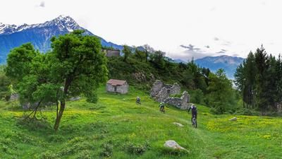
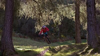
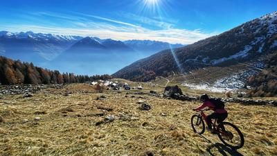
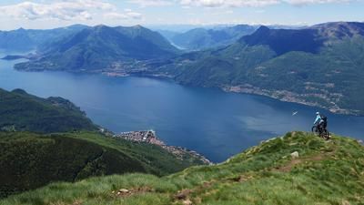
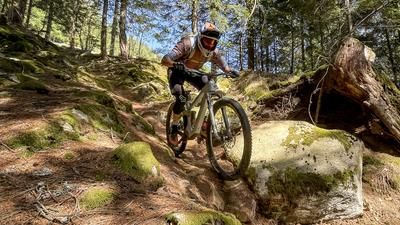
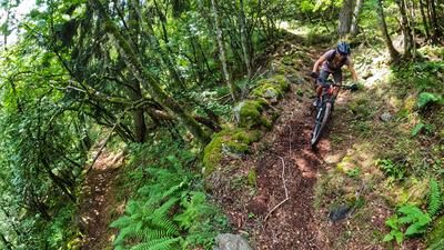
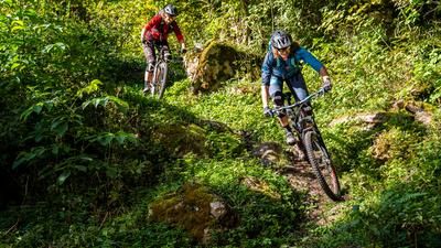
From Morbegno, a small summit cross can be seen high up on the horizon. 1900 meters further up. There lies the summit of the Cima della Rosetta, the destination of the tour. If you are tackling the ascent under your own steam, follow the mountain road to Rasura and then turn left towards Rifugio Bar Bianco. A little below, the asphalt road ends and the route turns into a gravel path that rides up to the Rifugio. You can drive up to here by car or a bike shuttle, which reduces the ascent by 1250 vertical meters. Saving energy pays off, as the ascent to the summit is now really tough. A steep and rough cart track forces you to push regularly, and after Alpe Culino you have to carry your bike up to the summit cross anyway. The view of the lower Valtellina and the Bernina massif behind is first-class. The descent then leads along the north-east ridge to the vicinity of the Baita del Prato, which you passed on the ascent. This summit section is steep and technical before the beautiful traverse over to Monte Olano. From now on it gets rough, good tires and sufficient suspension travel are helpful. The path down to I Terenni is easy to ride but a proverbial shaking cup. Only after a group of houses below Terreni does the path become smoother and less demanding. Descend in the same way to Cosio, from where you take the side road back to Morbegno.
Tip: If you tackle the route by e-mountainbike, it is best to avoid the summit ascent and head straight over to Monte Olano from the Baita del Prato
Map & GPX-Track
The map is only available to Ride subscribers.
The Ride-Subscription is available at ride-mtb.com/abo
.
Details of the tour
35 km
1995 m
1995 m
221 above sea level
2128 above sea level
1 day
Morbegno
Morbegno
1811
limited
More information
Video
More tours nearby

















User comments (0)

About the author: Thomas Giger
Note: This content has been automatically translated from German. Please report any incorrect translations.