

Sugarel-Trail

Description
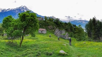
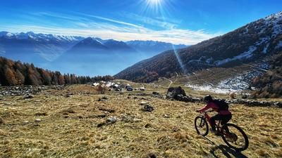
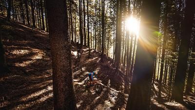
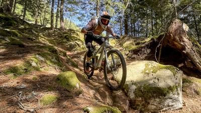
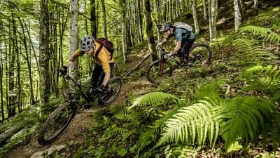
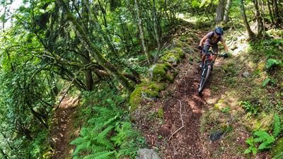
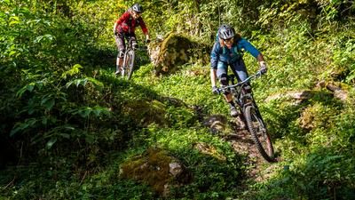
The ascent to the Sugarel Trail is quickly explained: from Ponte del Baghetto near Chiuro, you climb up the asphalt road to Viscenzatti and then switch to gravel until you reach the alpine settlement in the immediate vicinity of Piazzola. The entire ascent of 860 meters is completed in this way. For the descent, you initially traverse over to the ridge and join the Sugarel trail here. The descent is super fun, flowy and varied in S2 style all the way down to Luviera. Now keep left and turn into the wild Val d'Arigna, which you have already recognized on the left-hand side of the Sugarel Trail. Here it gets a little rougher until Bruga before you finally take the singletrail on the left instead of the road down to the valley floor. It is then just a stone's throw back to the starting point.
Map & GPX-Track
The map is only available to Ride subscribers.
The Ride-Subscription is available at ride-mtb.com/abo
.
Details of the tour
17 km
860 m
860 m
353 above sea level
1228 above sea level
1 day
Chiuro
Chiuro
2581
well suited
More information
No options along the route
More tours nearby








User comments (0)

About the author: Thomas Giger
Note: This content has been automatically translated from German. Please report any incorrect translations.