

Rifugio Gugiatti-Sertorelli

Description
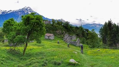
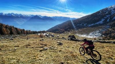
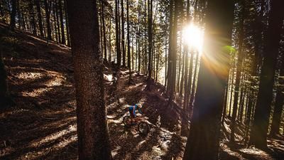
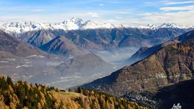
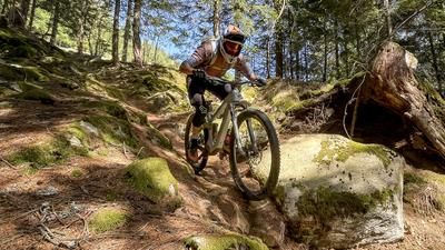
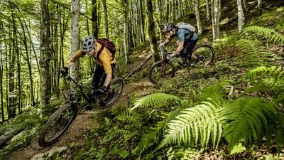
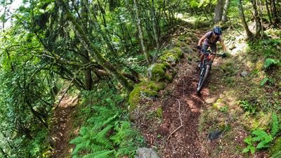
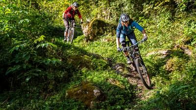
If you want to tackle a 1800-metre descent, you usually have to tackle it uphill first. Sports enthusiasts do this on the country roads from Sondrio to Biazza. Others take the bike shuttle and save themselves the 1300 meters in altitude. From here, it's another 600 meters up to the highest point near Alpe Rogneda. Shuttles don't ride up there, the road is simply too steep. The gravel road also forces many a mountain biker to kneel or walk. Eventually, however, you will reach the ridge at Alpe Rogneda - a sensational viewpoint of the entire central Valtellina and the Bergamo Alps opposite, as well as the Adamello massif behind it! The bike tour now continues over to the Rifugio Gugiatti Sertorelli, an exhausting up-and-down, first on a single trail, then just before the hut on a gravel road. And even if the name "Rifugio" raises hopes of a plate of polenta - not a chance! The hut is not staffed, but is an excellent place for a picnic. Recharging your batteries is not a bad idea for the descent ahead. The first section of the descent is a little blocked, then very steep, but after a water reservoir the fun really starts. The trail along the ridge is delightful. Flowing, fast, fun - perfectly designed for mountain bikers. It descends in this style to Carnale, followed by an intermediate section on asphalt to San Giovanni, where the second act of the trail comedy begins. The descent down to Montagna puts another big grin on every mountain biker's face. It doesn't matter if the last part to the town center is still on country roads. The trail load was more than enough!
Map & GPX-Track
The map is only available to Ride subscribers.
The Ride-Subscription is available at ride-mtb.com/abo
.
Details of the tour
40 km
2015 m
2015 m
288 above sea level
2178 above sea level
1 day
Sondrio
Sondrio
1880
well suited
More information
More tours nearby








User comments (4)

About the author: Thomas Giger
Note: This content has been automatically translated from German. Please report any incorrect translations.
I rode the tour today on 08.08.2025. Up with the bike shuttle. Up the road and later it gets very steep where there are concrete strips for car tires on the right and left. Very good to ride!!!
The crossing is also no problem. Arrived at the Rifugio a dream view. The descent was very good, only the very steep part I had to push. The fern and the high bushes were not bad, as I think the route is ridden more. My conclusion is that the tour is mega! I can recommend it.
Ditto. Rather average experience.
I can agree with dankonator. The trail is mainly run down in the first third and needs "Trail Loooove"! After the Refugio Sertorelli, the slope has partially slipped. The trail has dug deep and now, at the end of summer, the grass is high. Everything together is difficult to ride. I felt like I hit the pedals 20 times - sometimes I got stuck on rootstocks. That's less awesome! The aforementioned section with the wooden back path is partly overgrown with tall grass, ferns and other things. When it's wet, it's not going to be fun to ride.
As promised, the lower two thirds are a mix of everything fun.
If you're not afraid of the 2164m climb, this is still a super trail that I can only recommend.
Unfortunately, the trail is no longer so awesome. The forest on the ridge was completely destroyed by a storm, the upper part was converted into a forest road to salvage the wood.