

Lago di Colina

Description
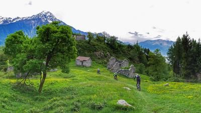
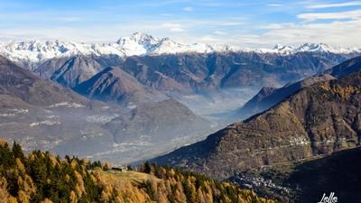
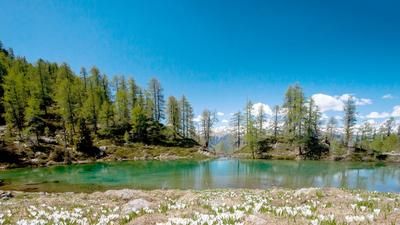
Lago di Colina has to be earned first. It lies at 2100 meters above sea level, the starting point of the tour at just under 300 meters above sea level. Nevertheless, the entire ascent has a pleasant gradient and is even asphalted up to an altitude of 1630 meters above sea level. If the effort is still too much for you, you can be shuttled up to a little above the Ligari settlement (1150 meters above sea level) - with a driving permit even as far as Forcola. After the asphalt tail, the ascent at Forcola turns into a gravel road, on which you finally ascend (undiminished at a pleasant gradient) to Lago di Colina. This inconspicuous mountain lake in a basin high above the Valtellina is not very spectacular, but the descent ahead can be a real highlight!
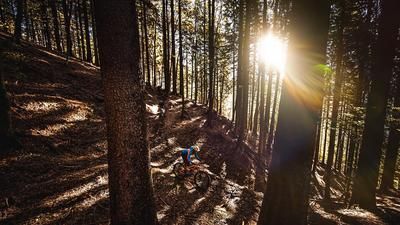
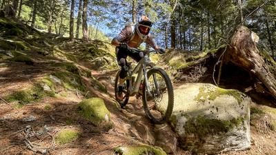
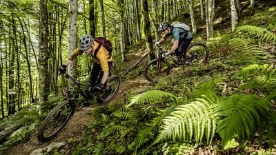
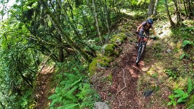
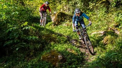
First you head down the singletrail to Alpe Colina, followed by a section of mountain road until the trail branches off to the left, which you follow for the next 1300 vertical meters. The trail is a first-class singletrail. Varied, flowing, winding, fast, tricky - the whole program is available. The level of difficulty is S2 throughout with individual S3 sections. After the seemingly endless trail load, you finally end up at a stream crossing, then immediately climb a few more meters to tackle the final section in the form of a mixture of trails, gravel paths, country roads and cycle routes back to the starting point. Incidentally, this starting point is located at a parking lot in the immediate vicinity of Sondrio's shopping mile opposite Castione Andevenno train station.
Map & GPX-Track
The map is only available to Ride subscribers.
The Ride-Subscription is available at ride-mtb.com/abo
.
Details of the tour
34 km
1860 m
1860 m
275 above sea level
2105 above sea level
1 day
Sondrio
Sondrio
2131
well suited
More information
No options along the route
More tours nearby








User comments (2)

About the author: Thomas Giger
Note: This content has been automatically translated from German. Please report any incorrect translations.
We rode the tour today. The panorama is very beautiful and the lake is cute and small.
We had a thunderstorm yesterday and so the trails were very wet in places, just like yesterday.
The upper part of the trail is very nice and in dry weather certainly very nice and flowy to ride. We took things slowly today!
After the village of Pra Lone, the trail was very overgrown: if you ride through without high protectors or long sleeves, you will come across stinging nettles. The further down, the denser the overgrowth became. At some point we gave up and rode down the road to the next bar.
A highlight of the region. Varied, cool descent. Highly recommended.