

Lago della Casera

Description
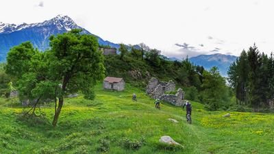
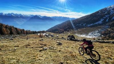
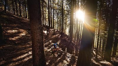
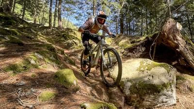
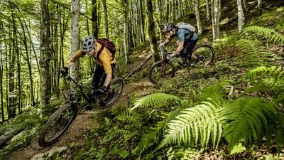
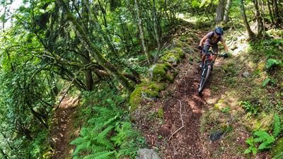
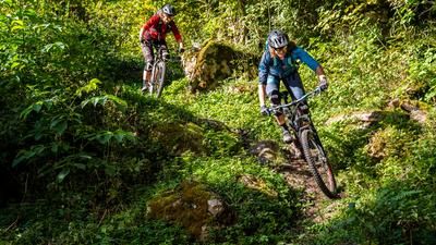
1700 meters in altitude is quite a challenge. For the descent, but also for the ascent. In other words: A good level of fitness is required. The ascent rides from Sondrio to the vicinity of San Salvatore on a smooth and pleasant asphalt road, which then becomes bitterly steep for a while. Above the last houses, the route turns into a gravel road that climbs a little flatter again. In this way, 450 meters of altitude have to be mastered until you finally reach the Rifugio al Lago della Casera and thus the highest point of the tour. The great thing about such a tough ascent is that the descent is correspondingly long! Instead, you take the trail from the Rifugio down to Lago della Casera and later cross the ascent route. Up to here, the trail is a little rough in places, but now it's fun par excellence. The path winds its way through the forest in a variety of ways, then there is a traverse on a gravel road until the next singletrail is on the left. The trails here are often used by trial motorcyclists, in some cases they even exist because of them. Good for us to know: Trialers usually ride up the trails, so they are easy for us to spot. The downhill trail is a real fun ride and leads to Albosaggia Vecchia. The route continues to feature great single trails all the way down to the valley, although they are now a little rougher than in the first phase of the descent. But the riding fun is still high. At the very end, after passing through Albosaggia, the trail even becomes first-class flowy again and ends at a horse farm right next to the ascent route. You ride into the center of Sondrio on the same route as the ascent.
Map & GPX-Track
The map is only available to Ride subscribers.
The Ride-Subscription is available at ride-mtb.com/abo
.
Details of the tour
28 km
1710 m
1710 m
285 above sea level
1980 above sea level
1 day
Sondrio
Sondrio
1954
well suited
More information
More tours nearby








User comments (3)

About the author: Thomas Giger
Note: This content has been automatically translated from German. Please report any incorrect translations.
I rode the tour on 7.08.2025. My 400Wh battery was just enough to get me to the top. The descent at the top was still nice then a new road was built and so the long trail was no longer there. The trail could only continue from an altitude of 1180. It was too rough for me and from Albosaggia it was super flowy.
Cool tour, enchanted forest included. A mixture of flow and technique.
We rode this tour last week - with shuttle support. Like the rest of the tours in this region, it's a real highlight! The first part of the descent, as described, is a bit bumpy in places. There are countless tracks and shortcuts in the forest made by motocrossers/trialers. It is sometimes difficult to follow the trail.
We booked Giordi's cab shuttle from Tirano in advance - very nice and very competent. https://www.tiranotaxi.it/
This makes the ascent to San Salvatore possible.