

Verdel-Trail

Description
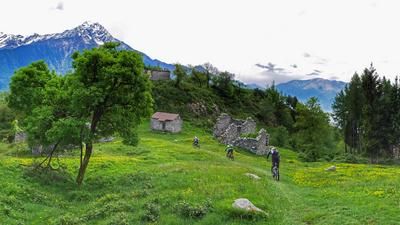
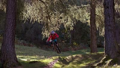
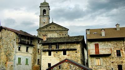
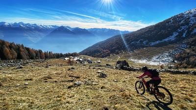
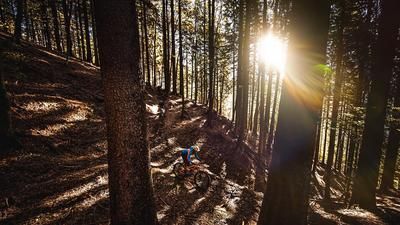
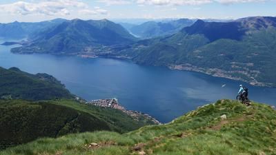
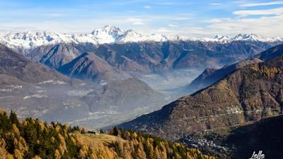
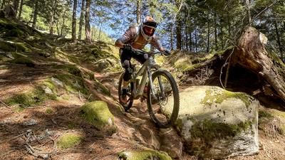
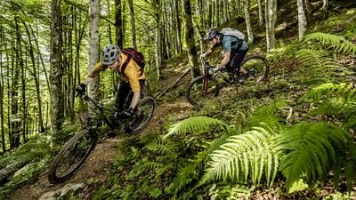
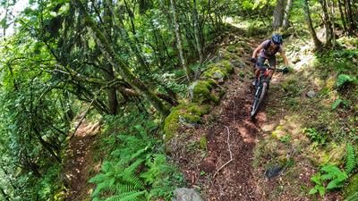
The route starts in Villapinta, the neighboring village of Ardenno. The entire ascent is now completed in one stretch, most of it on an asphalt mountain road with a pleasant gradient. At an altitude of around 1450 meters above sea level, the route then turns into a gravel path, becomes steeper and rides in this way to the Rifugio Alpe Granda with impressive views of Monte Disgrazia and the south side of the Bergell rock towers (Badile, Cengalo, Bondasca and Cima di Castello). However, you have not yet reached the start, but follow a gravel road for around three kilometers. In a left-hand serpentine, a path rides straight ahead - that's it! In the upper section, the descent is flowy, fun and wonderful to ride. You also pass Alp Verdel, which gives the trail its name. After the village of Calê (1300 meters above sea level), the character changes. The trail is now rough, rocky and more of a feat of strength than a dream. At an altitude of 800 meters above sea level, you then branch off to the left onto an inconspicuous trail - which turns out to be great flow cinema. In this character, you fly down through the forest until you land on a small road just above Ronco. Roll down this road into the town center and along the country road back to Villapinta.
Map & GPX-Track
The map is only available to Ride subscribers.
The Ride-Subscription is available at ride-mtb.com/abo
.
Details of the tour
24 km
1515 m
1515 m
265 above sea level
1770 above sea level
1 day
Villapinta
Villapinta
1956
well suited
More information
More tours nearby

















User comments (0)

About the author: Thomas Giger
Note: This content has been automatically translated from German. Please report any incorrect translations.