

Monte di Vercana

Description
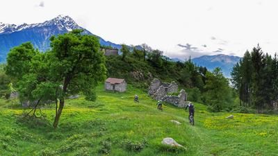
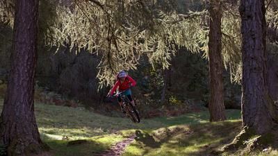
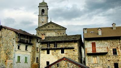
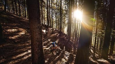
In the town center of Domaso, you climb up a small road to Vercana and follow it undiminished over 800 metres in altitude to Tabiadello, where the asphalt road ends and the descent back to Domaso begins. The start rides along a beautiful mountain trail to the forest clearings of Argigno. The trail takes you down a fun descent, passing the little alpine road and continuing along the path marked as a hiking trail. In the forest, the trail becomes increasingly rough and loses some of the flow character from further up. The trail ends in the village of Aurogna (Trezzone). There are just over 200 meters of ascent to the lakeshore, which are "destroyed" on the challenging path directly down to the lakeshore road. You then cycle back to Domaso along the main road.
Map & GPX-Track
The map is only available to Ride subscribers.
The Ride-Subscription is available at ride-mtb.com/abo
.
Details of the tour
17 km
850 m
850 m
200 above sea level
1047 above sea level
1 day
Domaso
Domaso
1605
well suited
More tours nearby








User comments (3)

About the author: Thomas Giger
Note: This content has been automatically translated from German. Please report any incorrect translations.
I started in the north, Cinque Case, so it's worth taking the road from Gera Lario up to Aurogna. Before Aurogna, the road bends steeply to the left (see the end of the tour) and you are on the Sentiero del Giubileo, a beautiful, asphalted, narrow panoramic road to Vercana. The good 800 h.m. , in my case in midsummer at ø 33°C, are tough and not shady before 6 pm.
From the first hairpin bend, the road is S1 with loose stones. Navigation in Argigno is difficult. The first asphalt road shortcut hiking trail does not exist in my opinion. The 3rd is more of a stream bed, but good to ride - S2. Then follows the Roman road, mostly brutally steep. Navigation in Aurogna is difficult. There is drinking water at the Trezzone church. Afterwards I didn't find the steep path to the lake, but another one is signposted and it's really fun.
quite an old-school bike tour, most of the meters in altitude are covered on a steep roman path, technically not very demanding. at least a great view.
Top Tour