

Forte di Cima Ora

Description
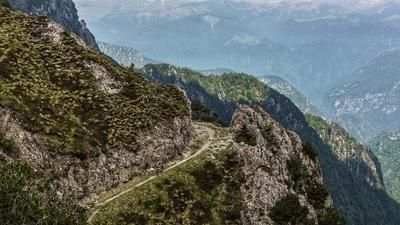
The tour starts in the small village of Anfo (400 meters above sea level). From here, the old, historic military road winds its way up a constant, medium gradient to the Rifugio Rosa di Baremone (1450 meters above sea level). A perfectly laid out road allows for an unparalleled uphill: fantastic panoramic views of the lake and interesting places are reached as you climb. From the Rifugio Rosa di Baremone, an unpaved military road leads uphill past the ruins to the summit. The closer you get to the end point, the more the surface becomes a small trail and offers a certain anticipation of the descent. Once you reach the highest point (1534 meters above sea level), there is a rich 360-degree panorama, although in the vegetation-rich season, especially in summer, the leaves of the trees obscure the view somewhat. In spring and autumn, on the other hand, you have a fantastic view of the Adamello group, as well as eastwards to Lake Garda.
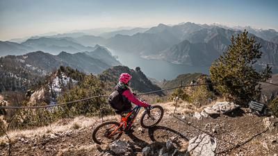
The descent itself runs in the upper area on the ascent variant difficulty S1, before you then take the supply road from the First World War to the east of Cima Ora. From here, the difficulty level rises to S3, but changes back to S1 in the Cuca del Frinc area. For a short time, the ascent variant rolls along the military road on asphalt, whereby you follow the trail below Cima Valcaelli to the starting point. At the front cross in particular, the panorama is once again fantastic. This is followed by the toughest part of the tour. At difficulty levels S3 to S4, a witches' ride begins up to Cuca Chetoi. Only technically minded bikers will manage to ride all the sections here, which also requires mental skill and absolute bike control, as a riding mistake here can end painfully. At Cuca Chetoi, the route then follows a farm track towards Sant Antonio, where the last trail section on S2 to S3 is completed and then the riverside road is rolled back to the starting point.
Map & GPX-Track
The map is only available to Ride subscribers.
The Ride-Subscription is available at ride-mtb.com/abo
.
Details of the tour
26 km
1195 m
1195 m
368 above sea level
1524 above sea level
1 day
Anfo
Anfo
2235
well suited
More information
More tours nearby




User comments (0)

About the author: Martin Depauli
Note: This content has been automatically translated from German. Please report any incorrect translations.