

Monte Brealone

Description
Start directly at the Bruffione bar, where there is also a convenient parking lot. From here, you pedal steadily uphill on a long gravel road - moderate at first, then tough at times - to the Piana di Bruffione plateau. Even here, impressive views open up again and again, and by the time you reach the Piana, you already have a large part of the tour in sight.
The path continues upwards at a steady pace, alternating between easy and challenging sections. Finally, you reach the Bivacco Passo Bruffione at around 2200 m above sea level - a striking crossing directly on the border between Trentino and Lombardy.
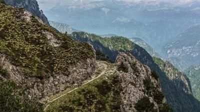
From here, you follow an old mulattiera or military path from the First World War towards Monte Brealone. The path crosses scenic terrain and soon the Laghi di Bruffione appear deep below. At this point, the highest point of the route is reached - and the descent begins.
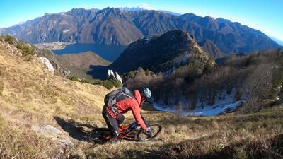
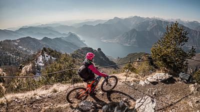
At first still easy at S1 level, it quickly becomes more challenging above the lakes. The trail varies between difficulty levels S2 and S3 - partly washed out, partly over open meadow slopes, with varying degrees of grip depending on the weather. The passage past the Bruffione lakes is a scenic highlight, especially in autumn with the colorful alpine pastures.
Afterwards, you follow another old mule track through sparse larch forest. Technically, it remains at S2 level, the trail winds elegantly downhill before you reach Fiume Caffaro.
Finally, it's time to crank once more: the Strada Statale del Passo di Crocedomini takes you steadily uphill back to Bar Bruffione - where you can round off the tour with a view, cappuccino or panino.
Map & GPX-Track
The map is only available to Ride subscribers.
The Ride-Subscription is available at ride-mtb.com/abo
.
Details of the tour
17 km
850 m
850 m
1329 above sea level
2181 above sea level
Gaver - Val Dorizzo
Gaver - Val Dorizzo
3541
well suited
More information
More tours nearby




User comments (0)

About the author: Martin Depauli
Note: This content has been automatically translated from German. Please report any incorrect translations.