

Monte Capannello - Le Scalette Trail
Description
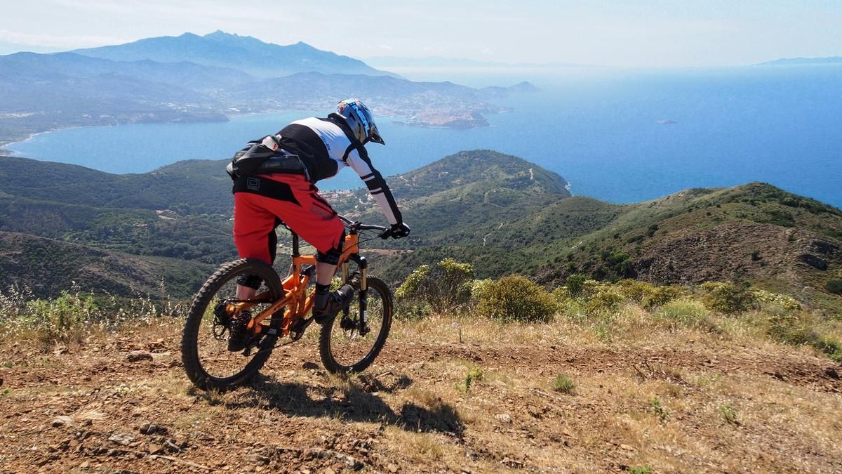
Starting in the seaside resort of Bagnaia, you soon take the asphalted Via Volterraio under the ruins of the Castello del Volterraio up to the Le Panche pass and turn into the marked GTE gravel road via the parking lot. With the last few meters in altitude, you reach the northern summit of Monte Capannello (406 meters above sea level) on a narrow path. After the impressive panorama, the first trail descends on fine gravel into the grassy La Croce cut, where you come across the old Mulatierre, which runs from Rio nell'Elba to Bagnaia. On the Le Scalette Trail, you really get going until you reach a gravel plateau with numerous rocky steps and rough ground, where the descent becomes much more challenging. The lower, rougher section finally leads through a washed-out rocky gully on the Strada della Falconaia, which you follow for a short stretch along the coast. For the finale, you take a hidden path and end up back at the beach of Bagnaia.
Map & GPX-Track
The map is only available to Ride subscribers.
The Ride-Subscription is available at ride-mtb.com/abo
.
Details of the tour
10 km
410 m
410 m
1 above sea level
401 above sea level
1 day
Bagnaia
Bagnaia
2737
well suited
More information
More tours nearby




User comments (2)
Note: This content has been automatically translated from German. Please report any incorrect translations.
Thanks for the tip!
The descent from Mte Capannello and the Scalette Trail were hopefully perfect...
The last part (hidden path) is fully overgrown up to the halfway point and can hardly be seen. The fun with scratched forearms / shins is limited.