

Pfälzische Weltachs
Description
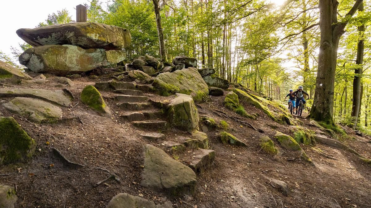
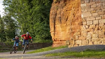
We start by rolling through Hochspeyer, past the swimming pool, before immediately heading uphill, first on side roads, then on an easy, dense forest trail. The first climb is conquered when we cross the B48. Now we cycle along a narrow path, often covered with leaves, before we reach Waldleiningen on alternating paths. Here you have the option of shortening the tour and riding directly onto the final loop. If you opt for the long loop, you will pass through the village of Waldleiningen. This is followed by a beautiful trail descent with some challenging hairpin bends before we continue on a rather flat, narrow path. We ride uphill again to the B48, which we cross and cycle to the "Palatinate World Axle". This popular photo motif is a whimsical red sandstone with a funny background. The rock formation stands on the 459-metre-high Kleiner Rossrück. Once a year, the "Weltachse" is ceremonially "oiled" again.
We continue cycling on flowing trails over the Kleiner Rossrück to Mölschbach. After an asphalt section, we pass the Eulenmühle and the Antonihof. Now you have the option of taking a short detour to Johanniskreuz or riding directly to the "Drei Linden". After the rapid descent, the route now leads to the so-called "Dämmchen". This is followed by another flowing trail to Langental before we return to Waldleiningen. A forest road takes us to Wolfsohl. This is followed by single trails over the Eselsohler Berg and the Hohe Loog. Partly very demanding with hairpin bends, we descend into the Leinbachtal valley. We then cycle the most challenging ascent of this tour to the Schlossberg via the so-called "Frankensteiner Monster Trail". The reward for this effort comes promptly with a long descent to Frankenstein Castle with a beautiful view of Frankenstein. After a short up and down, we ride another trail descent to the Kaninchenheim, after which we cycle back to the train station in Hochspeyer on a trail and a short section of road.
Map & GPX-Track
The map is only available to Ride subscribers.
The Ride-Subscription is available at ride-mtb.com/abo
.
Details of the tour
63 km
1315 m
1315 m
232 above sea level
517 above sea level
1 day
Hochspeyer
Hochspeyer
2317
More information
More tours nearby
User comments (0)
Note: This content has been automatically translated from German. Please report any incorrect translations.