

Col de Saler
Description
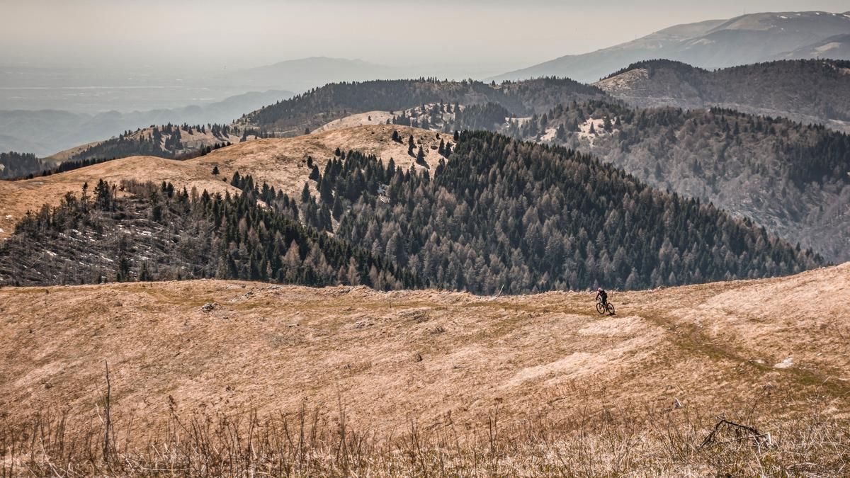
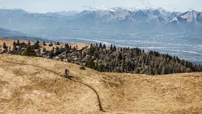
The route starts in Revine near the well-known town of Vittorio Veneto. From here, the route climbs steadily on asphalt along the panoramic road past the Madonna delle Neve. In the upper section, you then take the Strada dei Cavai and reach the summit of Monte Cor before finally switching to a single trail and completing the first few meters of descent (sometimes a little challenging) on difficulty level S2 to Sella di Pian de le Femene. Here, it is worth stopping for refreshments at the Rifugio Alpino Pian delle Femene before climbing to the panoramic summit of Col de Saler.
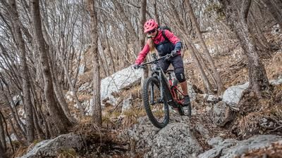
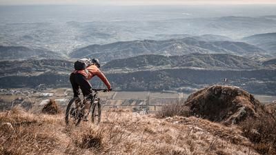
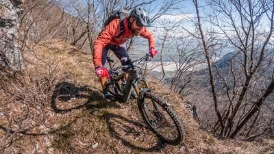
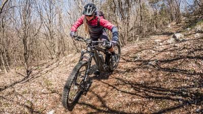
A varied and challenging descent follows. Relatively easy at first, the trail then rises to difficulty level S2 and can vary greatly depending on the vegetation period, for example due to lots of foliage. Finally, you arrive back in urban areas at Lago di Lago and Lago di Santa Maria on the valley floor.
Map & GPX-Track
The map is only available to Ride subscribers.
The Ride-Subscription is available at ride-mtb.com/abo
.
Details of the tour
19 km
950 m
950 m
221 above sea level
1152 above sea level
1 day
Revine
Revine
2874
well suited
More information
More tours nearby
User comments (0)

About the author: Martin Depauli
Note: This content has been automatically translated from German. Please report any incorrect translations.