

Monte Pizzoc
Description
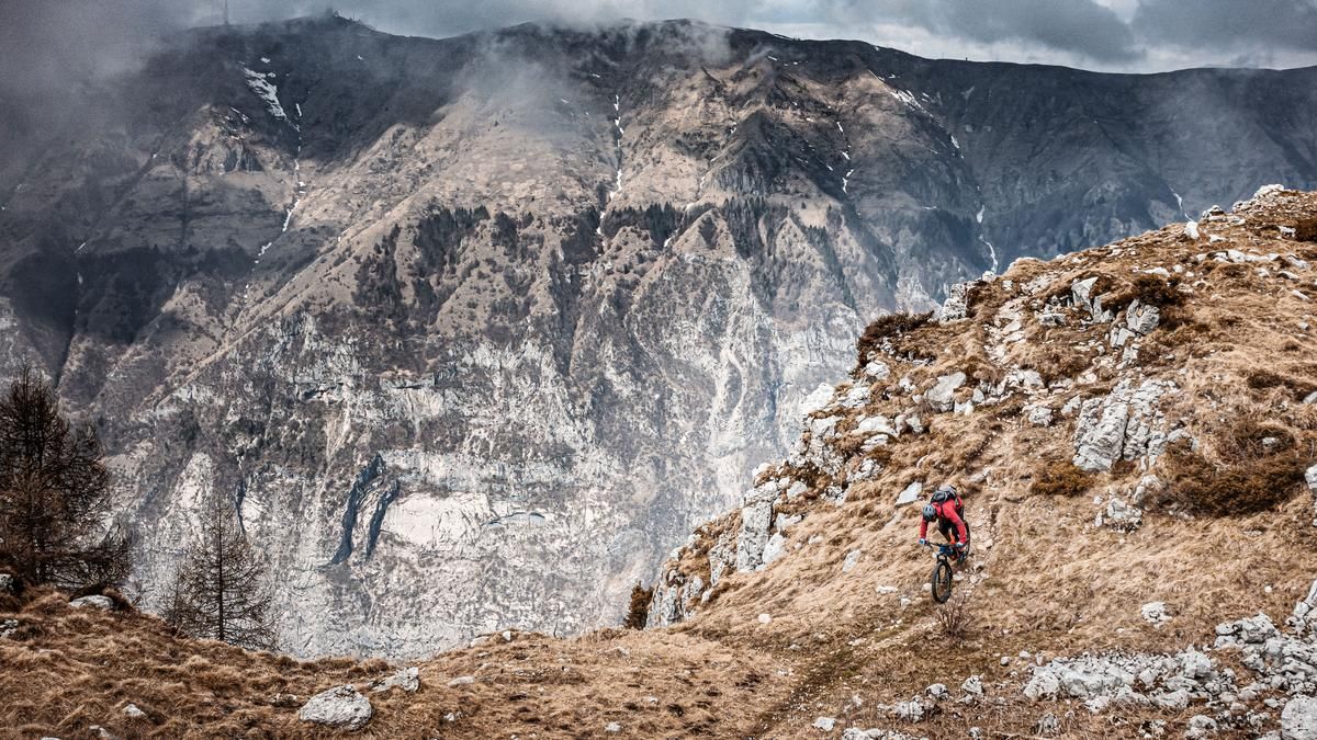
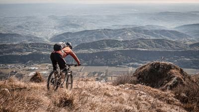
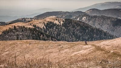
The tour starts in Vittorio Veneto, a beautiful town in the Belluno Dolomites. A beautiful old town dotted with historic buildings is the starting point for this tour. Initially, the route takes a relaxed route up the southern slopes on asphalt, through small hamlets, before later riding relatively steeply up the Strada del Santo. You should definitely take enough water with you on this southern ascent in summer. This ascent is quite long and demanding. In the upper section at Campo di Cadolten, you get your first really good panoramic views. Although there are not too many meters in altitude from here, it is still a few kilometers to the summit. The route is fairly flat again on asphalt up to the highest point of the tour, Monte Pizzoc at 1565 meters above sea level. The completely leveled plateau served as a NATO military facility. Today, however, it is "only" a viewing platform. Panoramic views of the Dolomites, the Alps and the Mediterranean are guaranteed on a clear day.
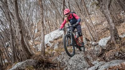
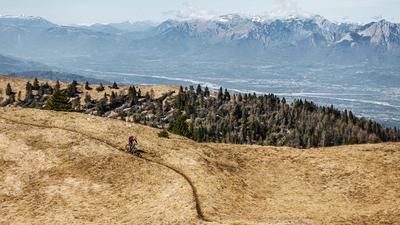
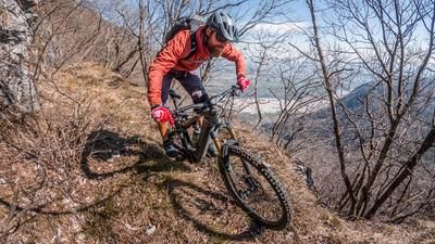
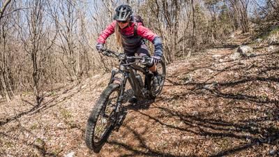
The descent leads along the road in the upper section before joining the trail at Busa delle cavre. This is a very varied singletrail (S1 to S3), which reaches its climax in the forest at Capitello Madonna dell'Agnelezza. Here you have to master some hairpin bends combined with steep steps. The route then continues along the ridge in a very varied and interesting way before finally reaching a former castle tower at Turris Nigra. Here the trail becomes virtually unrideable in places and these meters have to be pushed off. Once you reach Santa Augusta, you can enjoy a coffee and the view of Vittorio Veneto and Venice and then head north along the old Mulitiera trail. The southern variant via Via Santa Augusta is not recommended due to the large number of tourists and this route is also an unattractive set of steps. Either way, you will eventually arrive back in the beautiful old town of Vittorio Veneto.
Map & GPX-Track
The map is only available to Ride subscribers.
The Ride-Subscription is available at ride-mtb.com/abo
.
Details of the tour
31 km
1430 m
1430 m
125 above sea level
1544 above sea level
1 day
Vittorio Veneto
Vittorio Veneto
2881
well suited
More information
More tours nearby
User comments (0)

About the author: Martin Depauli
Note: This content has been automatically translated from German. Please report any incorrect translations.