

Col del Lovo - Piancavallo
Description
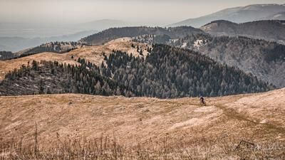
The race starts in Aviano. In the small town north of Pordenone, it's straight down to business. As an alternative to the pass road, you pedal steadily uphill towards Piancavallo on a somewhat dilapidated side road. After just a few meters you have to overcome a relatively interesting obstacle, as the road is partially eroded. After the very adventurous and lost-place-heavy ascent, you finally join the Via Monte Cavallo at Bornass and pedal on asphalt with a sometimes steep gradient to the Col del Lovo. Here you reach a small plateau and have a good view of the Mediterranean, the area from Jesolo to Grado and the foothills of the Alps to the north. The route then continues along the plateau and finally along a forest road to the winter sports resort of Piancavallo. As the route is accessible almost all year round due to its exposure and altitude, it is not uncommon to see skiers demonstrating their wedel turns on the last patches of snow, especially in spring.
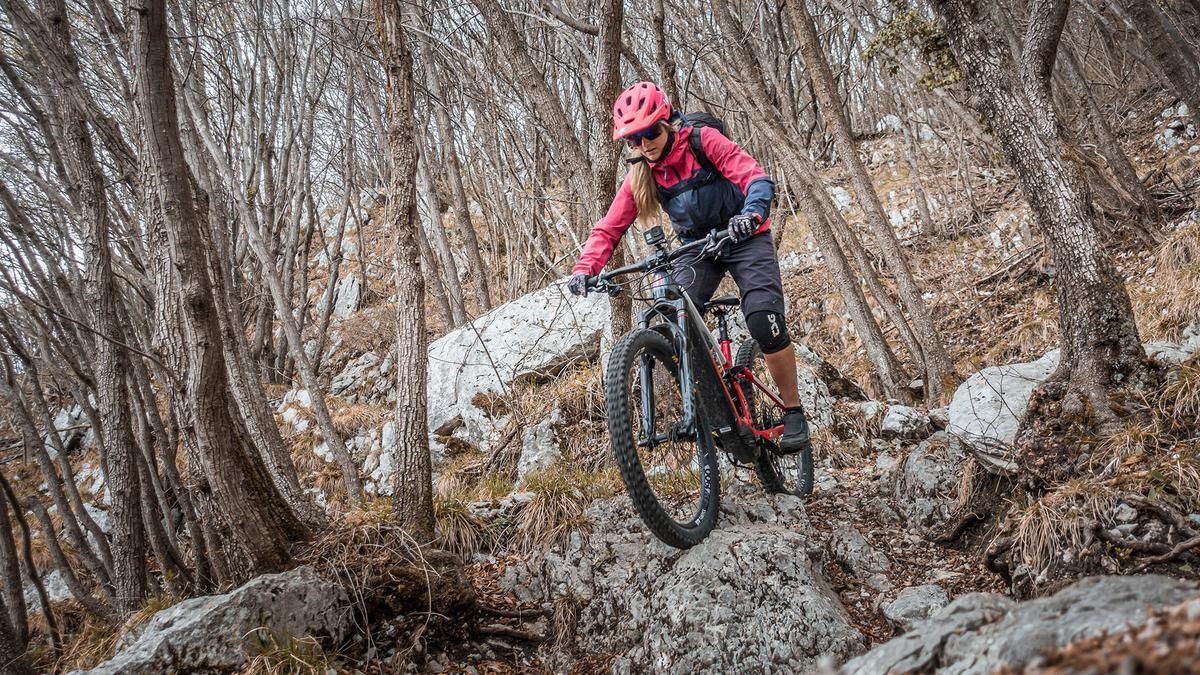
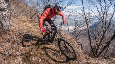
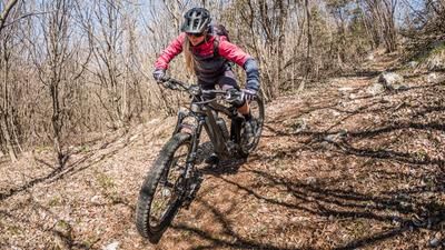
Once around the traffic circle, the descent begins. A very varied descent begins here. Initially quite unclear and you should concentrate on the trail markings, the Torrente Artugna descends steadily. Difficulty S2, occasionally S3, depending on the dryness and vegetation period. Then comes a somewhat more difficult part of Sentiero 990. The traverse up to the ridge is somewhat exposed in places, and a staircase has to be negotiated before you finally descend the ridge and have to keep shifting the rear wheel on numerous hairpin bends. The difficulty here remains mostly S2 and becomes easier towards the bottom before you ride along the Canaletta del Ruial. A very interesting Sentiero that is walled and contains what feels like an eternally long water channel. This mule track takes you almost to the bottom of the valley before you have to change gear again for the uphill. You then pedal past the Colle Sant'Angelo and at the ex cava Opolis you take the last mule track until you finally arrive back at the starting point.
In summary, a varied trail circuit that can be ridden almost all year round in some places when there is little snow and is perfect for a shuttle or with an e-mountainbike thanks to the good connections.
Map & GPX-Track
The map is only available to Ride subscribers.
The Ride-Subscription is available at ride-mtb.com/abo
.
Details of the tour
35 km
1200 m
1200 m
144 above sea level
1268 above sea level
1 day
Aviano
Aviano
2911
well suited
More information
More tours nearby
User comments (0)

About the author: Martin Depauli
Note: This content has been automatically translated from German. Please report any incorrect translations.