

Hochobir

Description
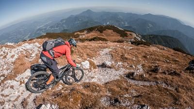
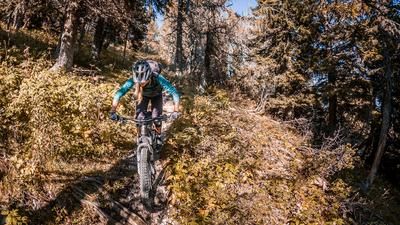
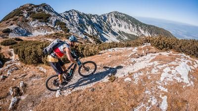
The starting point is Bad Eisenkappel. From here, the route climbs up the L131 Alpine road on asphalt. There is little traffic along the Ebriachbach stream in places, before the route then climbs steadily uphill on asphalt in a few hairpin bends at a small hamlet to the Eisenkappler Hütte. The uphill section already offers views of the Julian Alps and the Karawanken and, especially in autumn, the colorful forests provide a perfect play of colors. Past the Eisenkappler Hütte hut, the route then takes a relatively demanding route on a rough, gravelly forest path to the intersection of the trail to the summit. From here, the bike is only carried upwards by pushing or carrying and, in a few places, pedaling. Shortly before the summit, you come across the Rainer Schutzhaus (ruins), cross it and reach the highest point of the tour, the Hochobir summit (2139 meters above sea level). The mountain panorama is breathtaking. The Karawanken are practically at your feet and you can let your gaze wander over the Drau Valley, Lake Wörthersee and the Julian Alps.
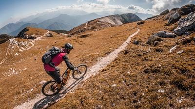
The descent starts at the summit and is very varied. From the summit to the forest road crossing, it is classified as difficulty S1 and S2, occasionally S3. This changes abruptly after that: the route continues at S3 to S4 level to the Eisenkappler Hütte. If you want to avoid this, you can take the forest road. From the Eisenkappler Hütte, a ridge ride begins that is second to none. With a maximum difficulty of S2, it goes along the entire ridge. In the lower section, the downhill becomes quite southerly and takes on a Mediterranean flair in places before you return to Bad Eisenkappel.
It should be noted that storm damage was cleared up in the section after the Eisenkappler Hütte in fall 2023. However, the path was easily passable at the time.
Note: The route is located on Austrian territory and leads over routes that are not approved for mountain bikers. Riding this route on a mountain bike is the responsibility of each individual, in full awareness of the legal situation.
Map & GPX-Track
The map is only available to Ride subscribers.
The Ride-Subscription is available at ride-mtb.com/abo
.
Details of the tour
30 km
1570 m
1570 m
549 above sea level
2096 above sea level
1 day
Bad Eisenkappel
Bad Eisenkappel
3084
limited
More information
More tours nearby



User comments (0)

About the author: Martin Depauli
Note: This content has been automatically translated from German. Please report any incorrect translations.