

Lungauer Kalkspitze

Description
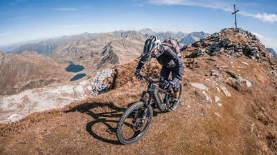
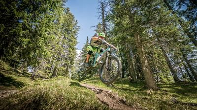
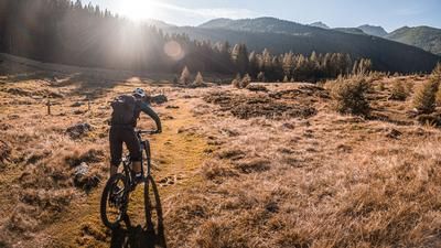
The starting point of the tour is the toll station at Forstaubach in Farmau. From here, it's a relaxed ride into the valley on asphalt and gravel to the Vögelalm. From the Vögelalm, the route then winds its way along serpentines up to an altitude of 1700 meters above sea level and then above the tree line up to the Oberhütte and the Oberhüttensee. Here you can already feel the flair of the Western Alps. From the lake, the bike ends up on the back or is pushed up to the summit of the Lungauer Kalkspitze. The view is fabulous. Countless well-known peaks from the Dachstein to the main Alpine ridge, the Hohe Tauern are in view and, especially in autumn with the colored alpine pastures, cannot be surpassed.
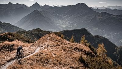
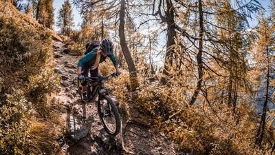
Now it's time for the descent. In the upper section on the mountain ridge, the route descends on difficulty levels S2 to S3, sometimes somewhat exposed, to the Akarscharte. Then it's back down the ascent variant on difficulty levels S2 and S3, although there is some storm damage and the bike has to be carried over the streams. Passing the Oberhüttensee lake, the route then takes you down to the Vögelalm on a rather challenging single trail on S2 to S3 . From here, you roll back down the valley to the starting point.
Note: The route is located on Austrian territory and leads over routes that are not approved for mountain bikers. Riding this route on a mountain bike is the responsibility of each individual, in full awareness of the legal situation.
Map & GPX-Track
The map is only available to Ride subscribers.
The Ride-Subscription is available at ride-mtb.com/abo
.
Details of the tour
28 km
1380 m
1380 m
1051 above sea level
2434 above sea level
1 day
Farmau
Farmau
3115
not suitable
More information
More tours nearby


User comments (0)

About the author: Martin Depauli
Note: This content has been automatically translated from German. Please report any incorrect translations.