

Radstädterhütte - Rossbrand

Description
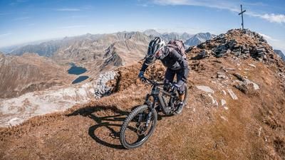
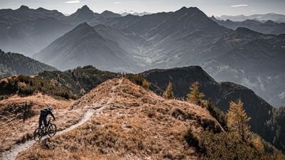
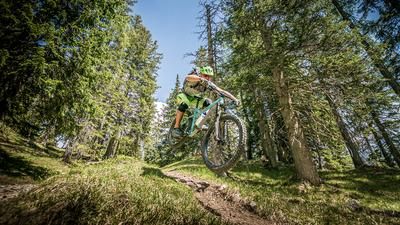
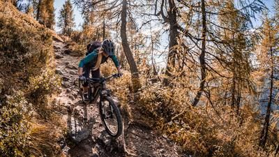
The cranks are turned for the first time in Radstadt. Then it's a relaxed ride along the Enns and a combination of asphalt and gravel around the Rossbrand. The ascent is varied and always peppered with great views, especially in the north to the Hohe Dachstein. After almost 1000 meters in altitude, the highest point of the tour is reached, the Radstädterhütte - a perfect stopover including a charging station for e-bikes. After enjoying the culinary and scenic delights, one of the many trail descents from the summit begins. These descents are typical of the region: root carpets and gentle forest terrain combined with hairpin bends and steep steps at a level between S2 and S3. The Direttissima takes you down the southern variant, with the middle section being somewhat more selective. It should be noted here that it should not necessarily be wet, as this increases the difficulty even further. The 462 trail takes you to Radstadt, where the tour ends again. Conclusion: A perfect tour, especially during the week, as there are also many hikers in this region.
Note: The route is located on Austrian territory and leads over routes that are not approved for mountain bikers. Riding this route on a mountain bike is the responsibility of each individual, in full awareness of the legal situation.
Map & GPX-Track
The map is only available to Ride subscribers.
The Ride-Subscription is available at ride-mtb.com/abo
.
Details of the tour
24 km
950 m
950 m
826 above sea level
1753 above sea level
1 day
Radstadt
Radstadt
3142
well suited
More tours nearby



User comments (1)

About the author: Martin Depauli
Note: This content has been automatically translated from German. Please report any incorrect translations.
Ridden on September 8, 2026—Cooler Berg, a 900-meter descent on a continuous, rideable singletrack from the summit plateau all the way down to Radstadt—you don’t find that very often in our area! It’s mostly root-covered steps, so it really needs to be dry. Unlike the summit plateau, there are fortunately very few hikers on the trail. Thanks to its location on the south-facing slope, you can ride this trail well into November—unless it snows earlier. If you choose the Stoneman-Taurista route for the ascent, you’ll already have a lot of trail under your belt by the time you reach the top, but in my opinion, it only makes sense on an e-mountain bike—unless you enjoy pushing your bike.