

Napoleon-Runde
Description
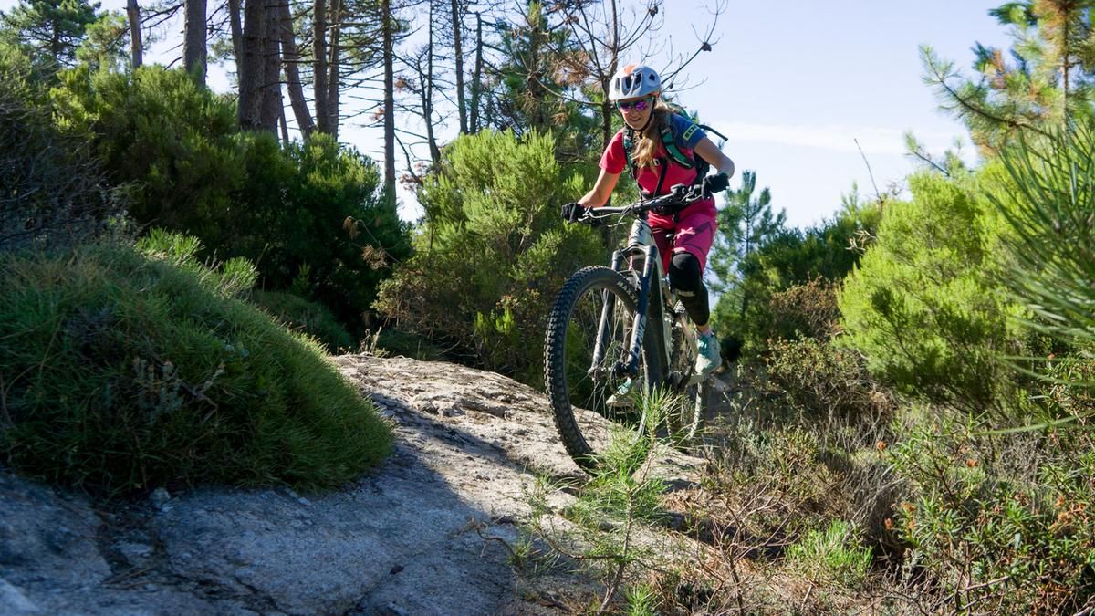
From the parking lot at Lacona Bay, follow the road westward and climb the Passo di Monumento at a gentle gradient. At the pass, a cart track branches off to the right, following the ridge northward with gentle ups and downs. After two steep climbs—which you can easily bypass via a wide forest trail—the trail branches left toward Colle Pecoano. Now begins a fun rollercoaster ride through the forest. The trail winds through many curves at S1 to S2 difficulty levels until you emerge onto the highway between Procchio and Portoferraio. On the other side of the road, the trail dives straight back into the forest. The path, partly washed out and partly root-covered, now becomes a bit more challenging and leads through jungle-like vegetation down to Lamaia Beach. The path directly along the beach is closed to mountain bikers. Therefore, after a brief visit to the beach, take the marked trail that leads uphill to the right 100 meters before the beach, facing the sea. At the end of the trail, follow the paved road to the right uphill through a few switchbacks to the main road. Here, turn left toward Portoferraio; after a few hundred meters, keep left again and turn right at the restaurant “Il Retrogusto” onto “Località Cepette.” Follow this paved and forest road around Serrobe Delle Cime. Here, another trail begins, winding smoothly through the beautiful forest back down to the sea. However, don’t miss the right fork here, as going straight ahead leads to a dead end.
After passing through the small village of Viticcio, keep right at the roundabout and, shortly after Via Aquaviva, ride uphill for about 200 meters of elevation gain on a good forest road. Now stay on the ridge and follow the trail as it begins to descend again to the coast. Continue on the highway to Napoleon’s residence. Now another 200 challenging meters of elevation gain await before you reach the ridge road. Here, keep left briefly, pedal steeply uphill to the right for a few meters, and turn onto the trail on the right. This trail now takes you on a fun downhill ride to the starting point, with a beautiful ocean view of Lacona Bay.
Map & GPX-Track
The map is only available to Ride subscribers.
The Ride-Subscription is available at ride-mtb.com/abo
.
Details of the tour
31 km
1060 m
1060 m
0 above sea level
305 above sea level
1 day
Lacona
Lacona
2644
well suited
More information
More tours nearby





User comments (6)
Note: This content has been automatically translated from German. Please report any incorrect translations.
So far, so good—it was fun. I followed the original route on the last uphill section, and that’s—if you’re relying on muscle power instead of a motor—a real struggle. So be sure to take the tips in the comments into account. The last trail toward Lacona is pretty rough, but with good line choice, it’s still mostly rideable. Otherwise, the trails have more of a forest feel and, in my opinion, For the most part, they’re smooth to ride with short technical sections. The technical difficulty of the tour (4/6) mainly reflects the last trail. I combined this tour with Monte Tambone East and Val Literno starting from Camping Stella Mare, which adds up to 1,850 meters of elevation gain and 50 kilometers—and, provided you’re in decent shape and have some grit, it’s doable even without a motor. For details on the specific characteristics of each tour, see the comments for those tours. Including breaks for energy bars, I spent a total of 6.25 hours on all three tours. I went in mid-May in perfect MTB weather. Adjust your self-assessment in hot weather!
P.S.: The other climbs—including the last one—are all "fair" and easy to ride.
A really nice ride! We started in Marina di Campo, so we skipped the trail to Lacona but took the trail from the neighboring route instead. Follow the tips from the other comments: take the shortcut across the road, and head up from the villa via the very rideable uphill trail.
Absolutely worthwhile round.
After the road crossing at km 8.4, the trail on the descent to the sea was only rideable for us for a short time; further down, the water had washed out a deep ditch in the middle of the path. You can shorten this part on the road and rejoin the track after about 1km.
As described by Thom, we took the left trail at km 26.9, which heads much further east and is therefore less steep than the original route.
The final descent to Lancoma is washed out and correspondingly rough.
Well-researched tour with great trails and the Serra del Pero as the final highlight down to Lacona.
For the last uphill after the Napoleon Villa there is an alternative at 26.9 km where you get a bit of an uphill flow. Do not turn right uphill at the big sign but continue straight ahead on the small trail (signpost at tree 221).
Follow this trail uphill until you reach a gravel road. Make a U-turn here and follow the gravel path first uphill then flat until you see a sign on the left with Mtb-Trail Serra del Pero DH. Take a short steep uphill left here and then ride straight into the trail
Very cool round, awesome trails that don't stop and the views of the sea are wonderful. Capo Stella can be added as a dessert.