

Trona del Rei Trail

Description
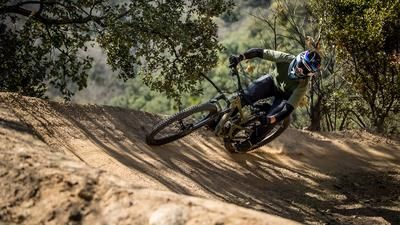
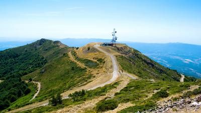
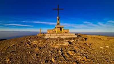
From Santa Coloma di Farners, you roll along short access trails and asphalt roads to the foot of the ascent to Turo de Llumeneres. This rides over gravel roads, some of which are steep, up a total of just over 500 meters in altitude to the wooded Llumeneres summit. There is no panorama up here, but the views are great on the descent. A narrow and maneuverable trail leads downhill, with occasional steeper sections and then a fun flow through the undergrowth. The level of difficulty is S2 with S3 allures. The path ends at a forest road, which forms the basis for the second ascent of the day.
450 vertical meters are gained on this road, at the very end the route rides up a somewhat steeper side path to the inconspicuous culmination point. This is the start of the fantastic Trona del Rei trail. This is one of the best in the region, winding its way seemingly endlessly through the forest in the S2 section. Super fun! Individual sections then increase to S3, only to dip back into S2 a little later. Before the path becomes a little steeper, there is a beautiful viewing point with a view of the region around Santa Coloma de Farners. Further down, you have the option of following the path and riding on trails to the end of the forest. Or you can keep right and follow the original version of the route straight down to an asphalt road, on which you will eventually roll back to Santa Coloma.
Map & GPX-Track
The map is only available to Ride subscribers.
The Ride-Subscription is available at ride-mtb.com/abo
.
Details of the tour
35 km
1230 m
1230 m
137 above sea level
909 above sea level
1 day
Santa Coloma de Farners
Santa Coloma de Farners
3128
well suited
More information
More tours nearby



User comments (1)

About the author: Thomas Giger
Note: This content has been automatically translated from German. Please report any incorrect translations.
Nice round! The first descent has its pitfalls - very sandy and therefore sometimes quite eroded and very narrow. In the fall, the first part of the trail from Trona del Rei is partly covered in a thick layer of chestnut leaves. However, the trail is great!
It is advisable to follow the original route from Trona del Rei. The alternative is almost completely washed away at one point. Here you have to shoulder your bike.