

Turo de l'Home

Description
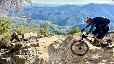
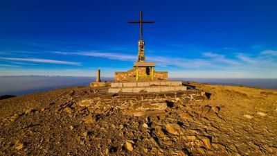
The route starts at the sports facilities in the village of Arbuciés. You cycle for what feels like an eternity on a small road for almost 900 meters up to Col Sesferreres, where you continue unabated on a small road to the left. Finally, you reach the first culmination point and recover your legs on a short asphalt descent. The off-road experience then begins in a right-hand bend with a parking lot. A steep, fairly wide trail that is easy to ride with a healthy amount of effort now winds its way up the forest in seven serpentine bends. Eventually you reach the edge of the forest, where the trail becomes rougher. Those with plenty of juice in their calves (or an e-bike) ride up everything; most people push for a few meters and then pedal again. This is how you reach the ridge and the start of the descent. A detour to the summit with the house is worth it for the view - from up here you have a great view from Girona to the Barcelona region with the Mediterranean in the background.
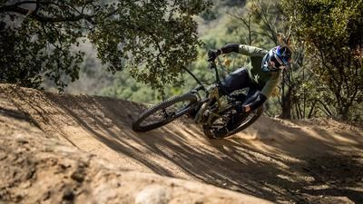
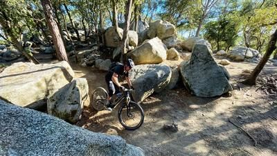
The descent starts off crisply: the path is rocky, there are always individual steps to overcome, only to pick up a lot of flow again. This alternation of flow and shaking takes you down to the road you know from the ascent. Cross the road and later take the trail down to Coll de Te. This is not always easy to see at first and is a little overgrown, but after a few meters it becomes a good, rideable but sometimes quite technical trail.
After the Coll de Te, the descent becomes smoother and faster. It's a typical trail as we know it in the region south of Girona: fast, agile, but always with tricky sections in between. This fantastic section is the final stage of a mountainous trail tour that you wouldn't expect to find in the region.
Map & GPX-Track
The map is only available to Ride subscribers.
The Ride-Subscription is available at ride-mtb.com/abo
.
Details of the tour
33 km
1450 m
1450 m
301 above sea level
1647 above sea level
1 day
Arbuciés
Arbuciés
3125
well suited
More information
More tours nearby





User comments (1)

About the author: Thomas Giger
Note: This content has been automatically translated from German. Please report any incorrect translations.
This mountain tour was the highlight of the Barcelona 2025 bike week for me. The climb was long and tough. Mainly because of all the leaves, which made the climb harder. Without thinking, I went up on a Sunday. That wasn't a very good idea because there were so many hikers.
I really love the descent. Long and varied. The first part was challenging in places. I found the final part even trickier. Maybe it was because I was already a bit tired and it was starting to get dark.