

Bassa del Druos

Description
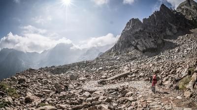
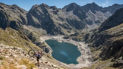
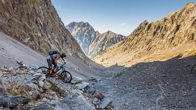
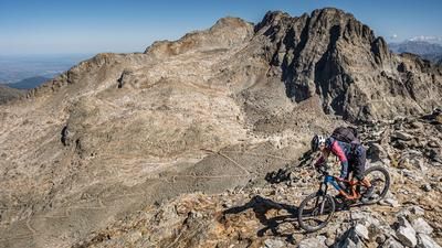
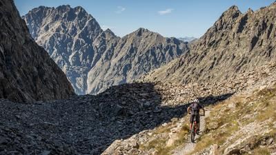
The tour starts at the Terme di Valdieri and winds its way up the old military road from the 1930s. The perfection and precision with which the road was built is incredible. At an altitude of around 1750 meters above sea level, you reach the Rifugio Valasco and continue to wind your way upwards. However, the road has deteriorated considerably in this section and only fit bikers and e-mountain bikers can still master these sections by pedaling, otherwise you will have to push or carry. Once you reach Lago di Valscura, it's time to take a deep breath and enjoy nature. An endless number of military installations from the Second World War in Vallo Alpino are built around the lake as if from a computer game - framed by a huge mountain world that is just waiting to be explored. The next few meters of altitude that lie ahead can only be mastered by carrying and pushing. A total of 350 vertical meters and you are at the saddle on the border between Italy and France. One foot in Provence, Kotasur, Nice, the other foot in Italy, Cuneo - a crazy world in this respect.
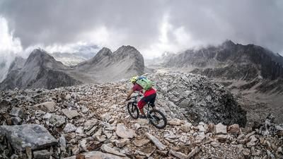
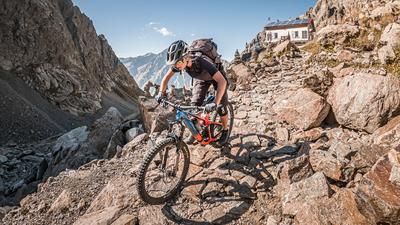
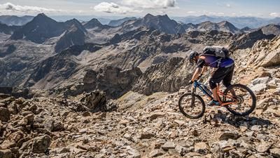
Once you've had your fill of the panorama, the natural jewels and the wildlife (golden eagles, ibex), the downhill can begin. On a difficulty level of S1 to S3, you have pretty much everything up to Lago di Valscura. The section up to the Rifugio Valasco has already been studied enough on the uphill to be able to enjoy the downhill. Nevertheless, it will definitely be a stumbling and shaking section. There are big stones waiting to throw the biker off his bike. The last few meters back to the Terme are taken on the trail cut-offs, where the difficulty lies between S2 and S3. Once you arrive at Terme dei Valdieri, you have one of the most beautiful tours in the area in your rucksack and, if the weather is good, you can take photos to take home with you.
Map & GPX-Track
The map is only available to Ride subscribers.
The Ride-Subscription is available at ride-mtb.com/abo
.
Details of the tour
25 km
1220 m
1220 m
1389 above sea level
2615 above sea level
1 day
Terme di Valdieri
Terme di Valdieri
2164
not suitable
More information
More tours nearby




User comments (0)

About the author: Martin Depauli
Note: This content has been automatically translated from German. Please report any incorrect translations.