

Tête Sud des Bresses

Description
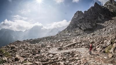
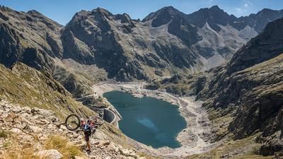
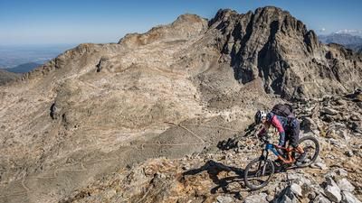
The tour starts at Terme di Valdieri. From here, the military road, which was built in the 1930s, climbs moderately towards Rifugio Valasco (1764 meters above sea level) and on to Lago di Valscura. From the Rifugio to the Lago di Valscura, the road is partially dilapidated and the bike has to be pushed for short periods. Fit bikers and e-bikers can manage this section by riding. A particular highlight of the tour is the section from Lago di Valscura and the old military buildings to Lago del Claus. The military road of the Vallo Alpino has been perfectly integrated into the local landscape and reflects the architecture of the time. It is a pleasure for bikers to be able to ride along such paths. From Lago del Claus, the first downhill section starts below the Rifugio Emilio Questa. At difficulty level S2 and S3 in places, you wind your way towards Valle Morta. Shortly before this point, however, the route only climbs up to 2820 meters above sea level to the Testa di Bresses sud (Tête Sud des Bresses). A heavily dilapidated military ramp is waiting to be climbed. In the meantime, the path is relatively difficult to find, but possible with a little skill and GPX navigation. At the Pas des Tablasses (2742 meters above sea level) you will find a former barracks of the Vallo Alpino. Ibex and eagles are not uncommon in this region in particular.
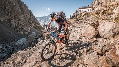
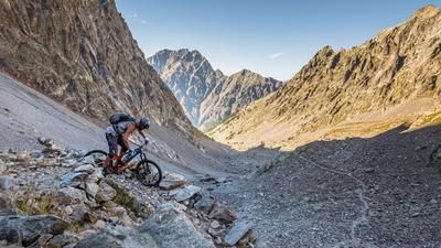
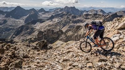
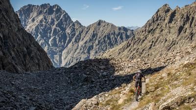
After that, it's a few more meters uphill before the downhill begins. Difficulty levels of S3 to S4 are not uncommon here and alpine experience and good riding technique are a prerequisite, and up to Colletto di Bresses (2618 meters above sea level) it's all about having fun. Now the difficulty of the trail decreases somewhat and you wind your way down towards Lago Soprano di Fremamorta. Countless military buildings and barracks can be seen along the entire route, combining a bizarre backdrop with an incredible panorama. Shortly after the Bivacco Jacques Guiglia (2421 meters above sea level), there is another steep climb on the right. Once again at S3 to S4 level, the route leads back to Valle Valletta on countless hairpin bends, flow sections and technical passages. Finally, you take the asphalt road back to the starting point and take a few more trail cutters on the last few meters of altitude before finishing this giant tour in the Cune region with a big smile on your face. Conclusion: All in all, a tough tour that requires a good level of fitness and excellent riding technique. It should only be tackled in stable weather conditions.
Map & GPX-Track
The map is only available to Ride subscribers.
The Ride-Subscription is available at ride-mtb.com/abo
.
Details of the tour
30 km
1640 m
1640 m
1397 above sea level
2757 above sea level
1 day
Terme di Valdieri
Terme di Valdieri
2168
not suitable
More information
More tours nearby





User comments (0)

About the author: Martin Depauli
Note: This content has been automatically translated from German. Please report any incorrect translations.